The Local newsletter is your free, daily guide to life in Colorado. For locals, by locals.
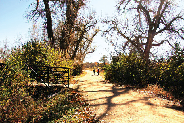
The High Line Canal trail is primed for a makeover, and the hikers, bikers, and urban adventurers who use the path will help determine its new look through a series of public meetings over the next few months. Here are a few areas the High Line Canal Conservancy believes warrant special attention.
Connect the Trail
There’s nothing better than a cold beer after a long ride. And that’s just what cyclists can get if they pedal from the High Line Canal’s start in Waterton Canyon near Chatfield State Park to Aurora’s Dry Dock Brewery, nine miles shy of the trail’s eastern end. Right now, though, getting that beer requires some bold traffic-dodging. The High Line Canal trail intersects busy roads in 80 places, including four major highways where cyclists and hikers must play Frogger with vehicles to cross. To avoid this, federal and local government agencies are spending $9.35 million to create underpasses—two are already underway, one at Colorado Boulevard and Hampden Avenue and the other at Parker Road and Mississippi Avenue—that divert trail users so they can continue their journeys toward Dry Dock Amber Ales uninterrupted.
A Sum of its Parts
Because the High Line Canal passes through a variety of landscapes—from bucolic horse properties near Cherry Hills Village to grittier urban spots in Aurora—the conservancy can’t employ a one-size-fits-all plan in its renewal efforts. “We want to capture the personalities of each area and stitch the diversity together,” says Harriet Crittenden LaMair, the conservancy’s executive director and a former Cherry Hills Village City Council member. In the south, initial efforts will focus on maintaining the lush overhead canopy by planting drought-friendly trees like bur oak and Norway maple. In northeast Denver—where much of the trail cuts through warehouse districts—possible enhancements include adding public art, fitness equipment, and urban gardens to engage the community in nature.
Waterworks
As it stands, water is only released from the South Platte River into the High Line Canal twice annually—and that’s in a good year. Most of the time, the canal is bone dry. Even when Denver Water releases a flow, up to 80 percent of the water evaporates or sinks into the dirt. That means no natural soundtrack for your run or ride and no reliable water for the thirsty trees and plants along the route. To solve both problems, cities and counties are considering a pilot program for collecting precipitation from neighborhood storm drains and sending it down the canal. Each one-mile (or so) section of the canal would be fitted with a small dam that would help keep nutrient-rich sediment in the canal bed. This sediment is full of nitrogen and phosphorus—perfect plant food for the trees and shrubs lining the banks.


