The Local newsletter is your free, daily guide to life in Colorado. For locals, by locals.
I have a photograph hanging in my house that shows traffic on Colorado’s I-70 at night. On the right side, traffic flows across the mountain landscape and the lights of the vehicles blur into burnt orange streaks. On the left, the beams blend into ghostly white lines. It’s a static image of movement, and every time I walk past it, I feel like I’m part of the mix of Coloradans moving around our city and our state at any given moment.
Today, because of the COVID-19 pandemic, our movements have changed. Instead of bounding across the metro and to the high country, many of our paths—like the white and orange streaks in that photo—have shrunk into smaller and smaller circles.

Before, though, it felt like the routes I traveled were stretching farther. My trek to work was longer than it had been a decade ago. I put additional miles on my car. I used the light rail more. I bought a better bike. I appreciated the ease of using rideshares. And so on. I’m guessing you might feel that way, too.

Colorado has seen an incredible amount of economic growth in the past decade and with it, population increases. It follows that as we’ve added more people to the region, it has put strain on our roads. “Ever since 1876, the size of the state hasn’t changed, but every successive decade we have added more [people],” says Chris Akers, an economist with Colorado’s State Demography Office. “That, in and of itself, is a recipe for greater congestion.”
I’ve simply lost track of the stories I’ve read about timing light signals, changing traffic patterns, installing bike lanes, or adjusting bus schedules. I do know that every bit of that coverage is needed. But timing when and where a population will move is tricky business. Add the additional pressures of growth—and now a pandemic—and urban planning in 2020 will be a unique challenge.
Denver, of course, isn’t the only metro dealing with the conundrum. Boston University’s 2019 Menino Survey of Mayors, which polled leadership in 119 cities about top priorities, shows that infrastructure is a top consideration (66 percent say roads would be a focus for new funding).
In Denver, the Mayor’s Mobility Action Plan was released in 2017 to coordinate efforts. To make streets safer, the city has also adopted a Vision Zero Action Plan, which focuses on eliminating traffic-related deaths. And, after much debate and voter approval, the city created the Department of Traffic and Infrastructure (read a Q&A with its executive director).
More broadly, the Denver Regional Council of Governments (DRCOG) looks at trends in an area that includes multiple counties. In its 2018 report on congestion in the area, the group found that the daily average of vehicle-miles-traveled has grown steadily in recent years. Those additional miles add up in wear-and-tear on the roads, but also congestion.

The report estimates that households experienced 60 hours of vehicle travel delay each year. The economic impact of delays (for both commercial and passenger vehicles) was more than $1.5 billion. In 2040, DRCOG estimates these delays could increase to 97 hours and $2.9 billion in impact.
That’s a lot of lost time and money. (Of note, the same report saw a five-year trend in people working from home—an increase of more than 20 percent—which could grow bigger even after stay-at-home orders are eased.) DRCOG spends time thinking about managing that congestion and regional planning. “One of the things my team does is we try to forecast where growth is going to happen,” says Andy Taylor, DRCOG’s regional planning and development manager. Part of that is looking at where jobs and homes are located and how, say, needs in Douglas County might differ from those in Denver County.
But while jobs often follow jobs (think: commercial areas and business districts), workplaces and homes are not necessarily close together. The Downtown Denver Partnership estimates that workers heading to the area for jobs travel an average of 11.7 miles one-way. Plus, people sometimes switch jobs more frequently than they do homes (homeowners are staying in place longer). The result is a mix of people living in the area but commuting to and from jobs.

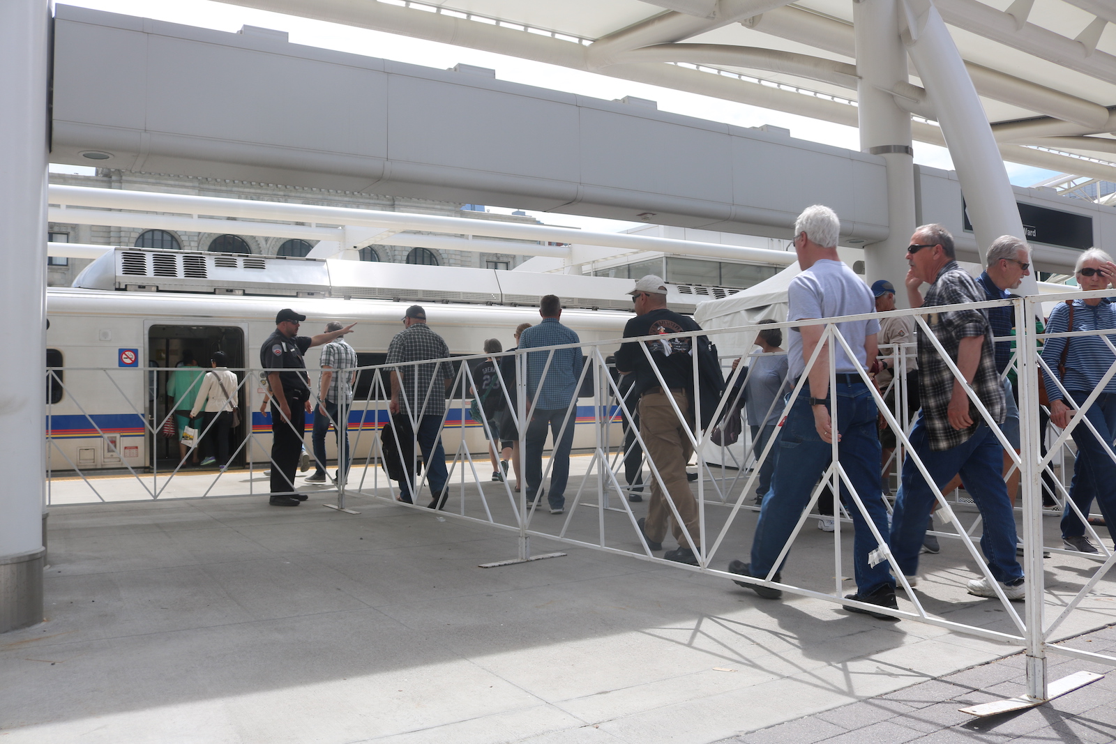
The Regional Transportation District (RTD) is tasked with connecting the area via public-transit options, which is no small task. Plus, people still like to drive. Tim Jackson is the CEO and president of the Colorado Automobile Dealers Association, an advocacy group for the industry. An avid sport cyclist, he also says that cities shouldn’t lose sight of the fact that people want to drive. “There’s a car on the road for every person in the state, whether they drive or not,” he says, pointing to the more than 5.9 million registered vehicles (this number includes trailers).
Approximately 97 percent of the state’s population growth from 2010 to 2019 was people aged 16 years or older. Put another way: They are potential drivers. But those people are also walkers, riders, and bikers and will move in those cyclical patterns I mentioned earlier.
All in all, building and maintaining roads in the Centennial State starts to read like an elementary school math problem: If Denver has this many residents, but only this many roads and this much public transit, how many hours will Samantha spend in traffic this year? The answer—I won’t make you show your work—is a lot. Now, it is time to figure out how to do that, how to fund it, and what big ideas could make the region a place for movement. Because even if our paths are shorter now, those circles of light we all carve into Denver’s landscape will likely grow bigger—and, hopefully, smarter—with time.


