The Local newsletter is your free, daily guide to life in Colorado. For locals, by locals.
Why we love it: You’re likely to have this easy, out-and-back stroll in the heart of Roosevelt National Forest all to yourself.
When to go: Late spring, when the wildflowers are blooming, through early fall, when the vibrant stands of aspen turn gold.

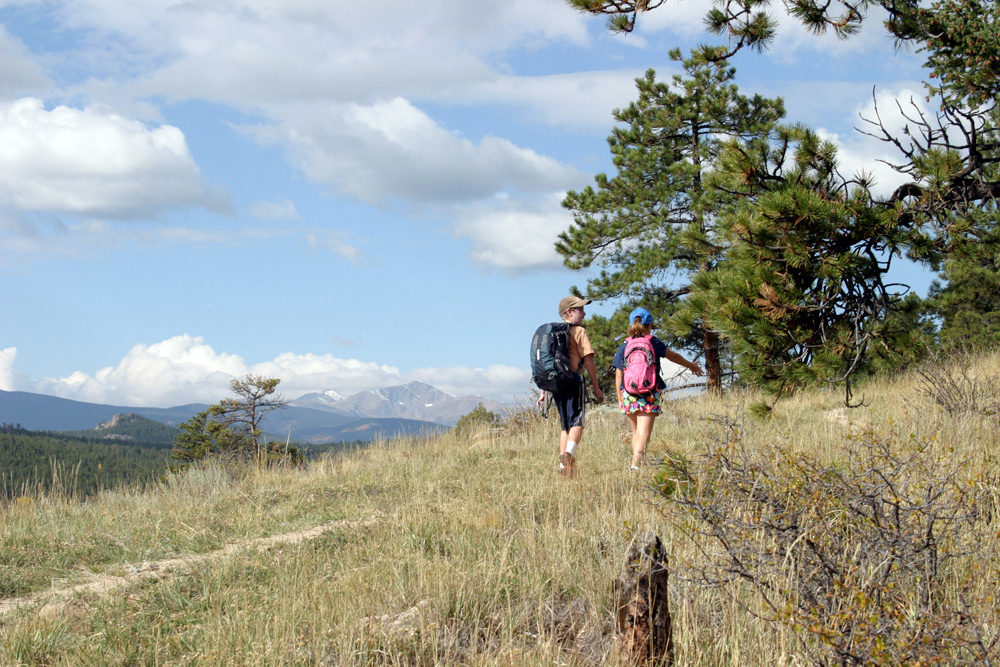
This 3-to-5-mile roundtrip route is more of a wander than a hike. This little-known trail follows a ridgeline at about 8,000 feet in elevation that alternates between stands of open forest and sunlit meadows with great views toward Gross Reservoir and James Peak. With just a few, short ascents, this stroll is perfect for families or anyone wishing to enjoy some solitude, as well as verdant meadows full of wildflowers in the late spring.
From the gate at the east end of the parking area, follow the rocky Forest Road 359 about 0.8 miles to a small saddle, where an opening in the fence line on the right marks the beginning of the trail. The route immediately ascends a steep little hill, then begins to traverse the ridge, winding through grasslands interspersed with stands of vibrant ponderosa and Douglas-fir pines, aspen, and a few low shrubs.
(Summer hiking gear to buy now)
At the base of the second hill look for two trees bearing bright yellow plaques. These serve as markers for the division of the West’s public lands into tidy squares via townships, ranges, and sections. As you ascend the hill, you’re treated to panoramic views stretching from the Continental Divide to the Twin Sisters rock formation in the north. The top of the third hill, where you get another great look at the rugged divide, is a good place to turn around, but if you’d like to explore a little farther, you can follow the path to where it peters out in a forested, rural neighborhood before heading back to your car.
Getting there: From Denver, take I-25 North to US 36 West and exit at Canyon Boulevard/CO 119 in Boulder. Turn left to follow CO 119 west. From the Canyon Blvd./Ninth Street junction, continue west on CO 119 for 4.8 miles to Magnolia Road. Turn left here to wind 4.6 miles up the impressive switchbacks. After the road turns to dirt, continue an additional 2.1 miles over more level terrain, then turn left onto CR 68 and follow this another 2.1 miles to the trailhead. In late spring through fall, when the gate is open, high-clearance vehicles can drive another 0.8 miles on Forest Road 359 to the small saddle where the trail begins.


