The Local newsletter is your free, daily guide to life in Colorado. For locals, by locals.
Length: 4.4 miles roundtrip
Difficulty: Easy
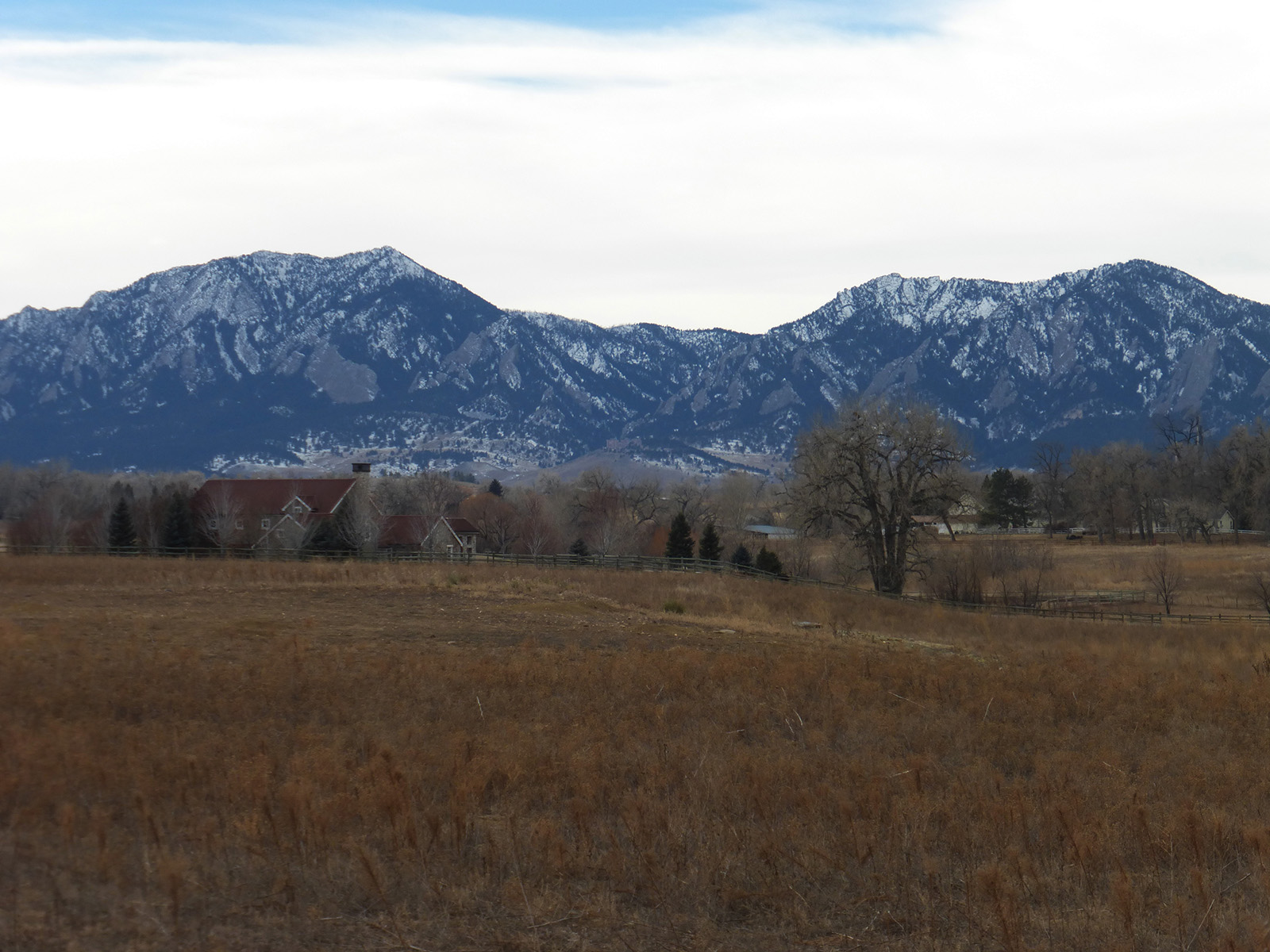
Why we love it: This flat, out-and-back route has awesome views of the foothills and high peaks for those short, cold days when you long for some fresh air
When to go: During winter, when other trails are too icy, and in spring, when the trees are budding
Pre-hike buzz: Just west of Courtesy Road’s junction with South Boulder Road, Precision Pours is an inviting “craft coffee house” known for its great service and outstanding espresso
Restrooms: None
Dogs: Not allowed in White Rocks Nature Preserve
Sandwiched between Valmont and Lookout roads northwest of Louisville, the White Rocks Trail winds along Boulder Creek through the tranquil White Rocks Nature Preserve/Lower Boulder Creek Conservation Area. The trail extends both north and south of Valmont Road; to reach the northern stretch (which I describe below), walk 0.2 miles west from the parking area, along a path that parallels the road, then cross Valmont to reach the trailhead on the north side.

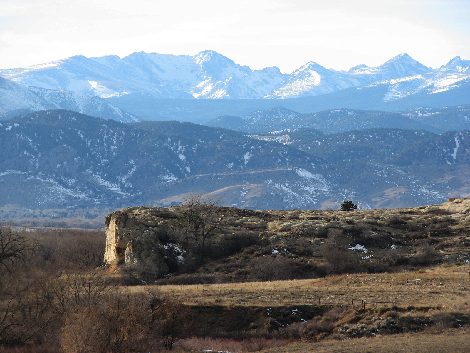
From Valmont Road, the trail skirts around a pond and small wetlands that seasonally host large songbird and waterfowl populations. The route then crosses the creek near some beautiful bluffs, whose white rocks are the remnants of 68-million-year-old beach sands deposited as Colorado’s last sea drained away.
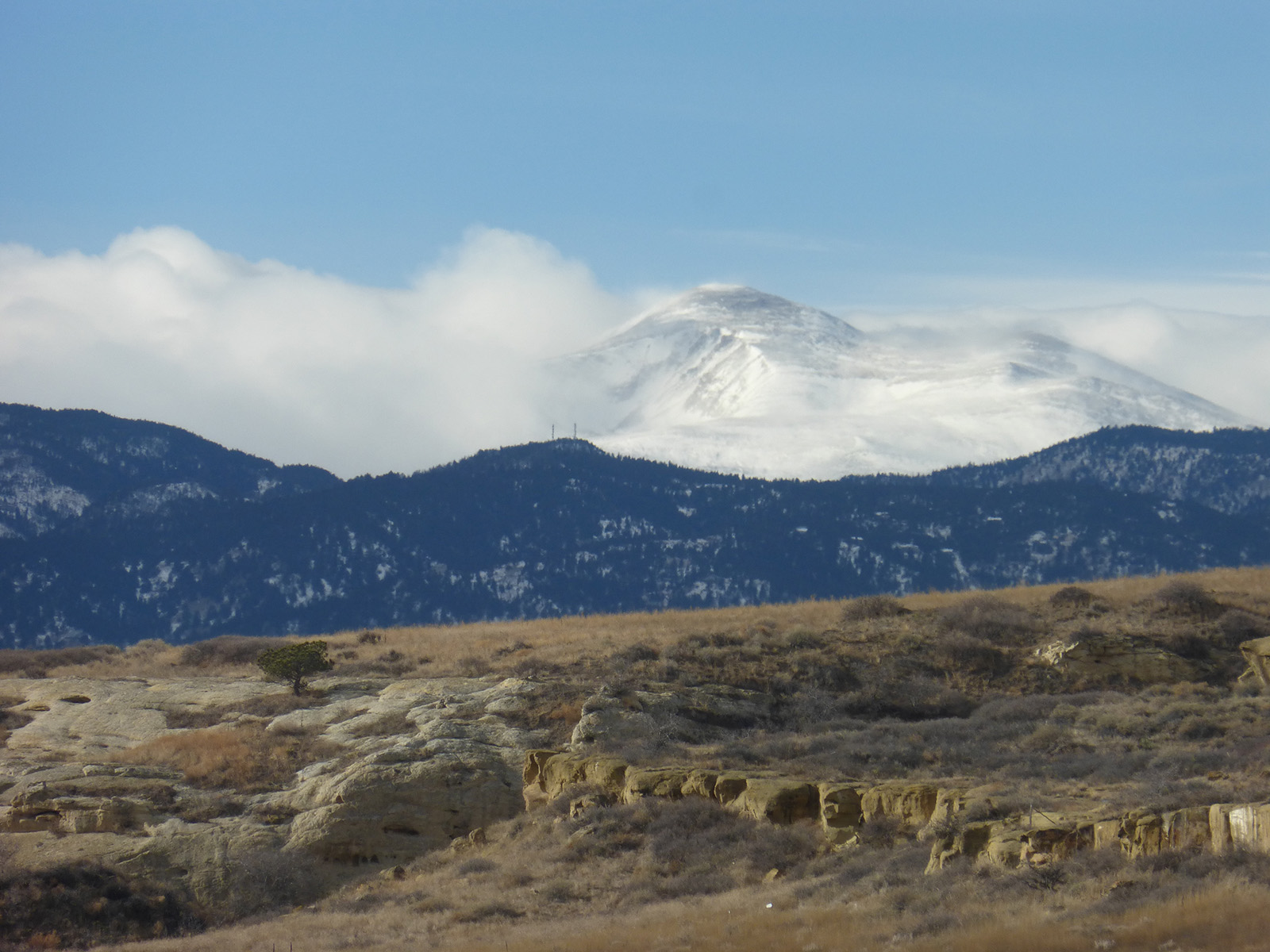
The trail climbs briefly to ascend these rocks before continuing across shortgrass prairie, where you may be lucky enough to spot elusive coyotes, chattering prairie dogs, burrowing owls, white-tailed deer, and bald eagles or other raptors. Throughout this stretch, there are fabulous views of both the foothills and the high peaks, including Longs, which are especially stunning in the morning light.
About two miles from the trailhead, you reach a T junction. From here, you can turn around and retrace your steps or extend your hike by walking east to reach another trailhead on 95th Street or heading west to explore the Gunbarrel Farm Trail. Either way, you’ll enjoy an easy stroll with beautiful views and plenty of fresh air.
Getting there: From Denver take I-25 north to US-36 and exit on Storage Tek Drive (46A). Turn right and follow Northwest Parkway for about a mile to a left-side exit for South 96th Street. Follow this north for 1.7 miles, then continue straight onto CO-42. Follow north for 2 miles before continuing straight onto North 95th Street for 2.8 miles to its junction with Valmont Road. Turn left (west) onto Valmont and follow it 0.6 miles to a small dirt parking area on the south side, which serves multiple trailheads.


