The Local newsletter is your free, daily guide to life in Colorado. For locals, by locals.
- Length: 2 miles, out-and-back, with longer loop options
- Difficulty: Easy to moderate—the trail is rolling with no major climbs or descents, but lots of uneven rock surfaces
- Why we love it: It’s an easy way to sample the ethereal landscape of Snow Canyon’s petrified sand dunes
- Nearby Nosh: Cap the magical dune experience with a refreshing margarita at Don Pedro’s Family Mexican Restaurant in St. George
- When to go: Spring, fall, and winter
- Restrooms: Yes, on the way to trailhead
- Dogs: Not on this trail, but elsewhere in Snow Canyon State Park
- Distance from Denver: About 640 miles
Before you balk at the 640-mile distance from Denver (about 10 hours driving), keep in mind the worthiness of this road trip. Not only is Snow Canyon State Park in Utah one of the West’s most mystical landscapes, but it’s also located within two hours of other alluring destinations, like Zion National Park and little-known ski areas like Eagle Point and Brian Head. There’s nothing quite as satisfying as tackling every one of your beloved sports (hiking, mountain biking, and skiing) in one road trip. Given St. George’s balmy spring and fall temps, as well as mostly mild winters, anything and everything is possible here.
Let’s just start by saying that “Snow” Canyon is a bit of a misnomer. Even in late February, when I rolled in clad in capris and short sleeves, the day after hiking the Narrows in Zion and ripping powder among a total of about 12 people at Eagle Point, there were no white surfaces in sight—just the sheer, jagged white walls of the sand canyon and colorful panoramas of rippled rock formations.

After paying the $6 day-use fee and passing through the park entrance, the Butterfly trailhead parking area is midway through the park. On the weekday afternoon I visited, there were only a couple of cars in the lot.
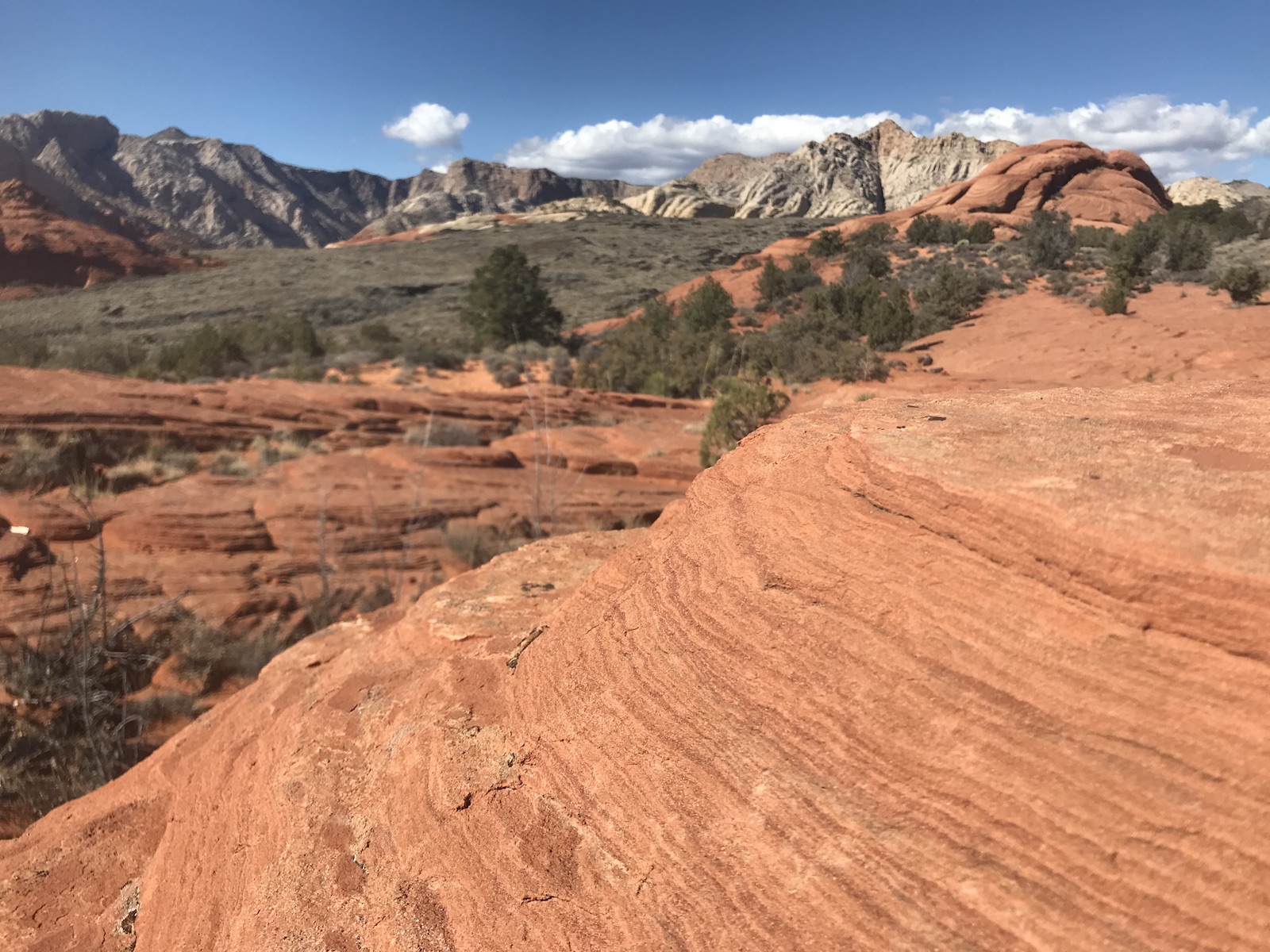
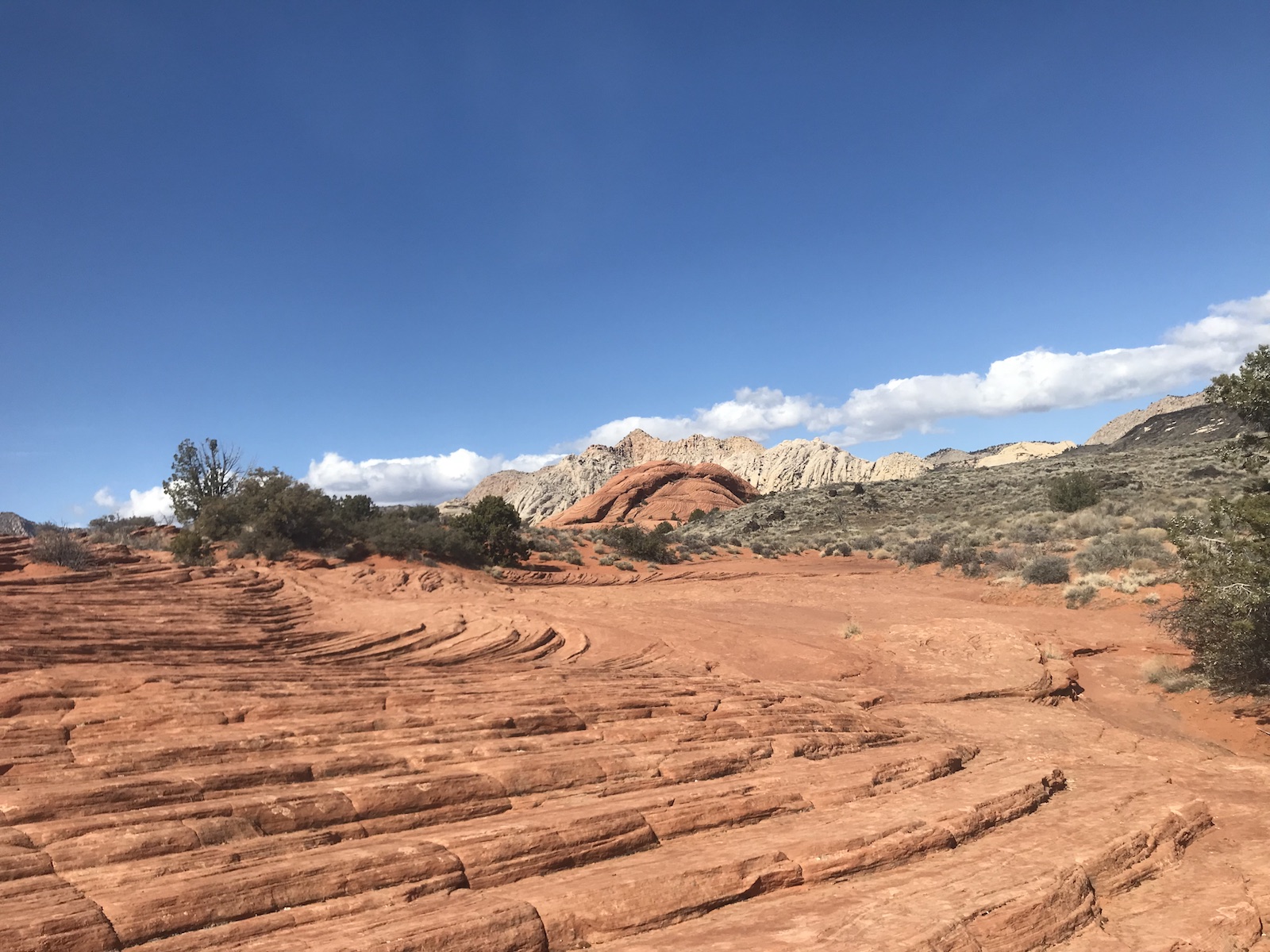
This trail brings the unmistakable sensation of walking on the moon, or perhaps exploring the landscape of some distant, undiscovered planet. It begins on the right side of the parking lot (the Petrified Dunes trail is on the left) with a slight downhill gradient through sagebrush and desert scrub. The rock formations, true masterpieces of nature, begin a couple hundred yards in, with the trail’s namesake to your right atop a mound of slickrock—two narrow, triangular-shaped rocks perched magically with long ends touching, bearing a striking resemblance to a pair of butterfly wings. (Flip through the gallery above for photos.) Above is Anvil Rock, stained black like much of the surrounding landscape due to ancient lava flow.
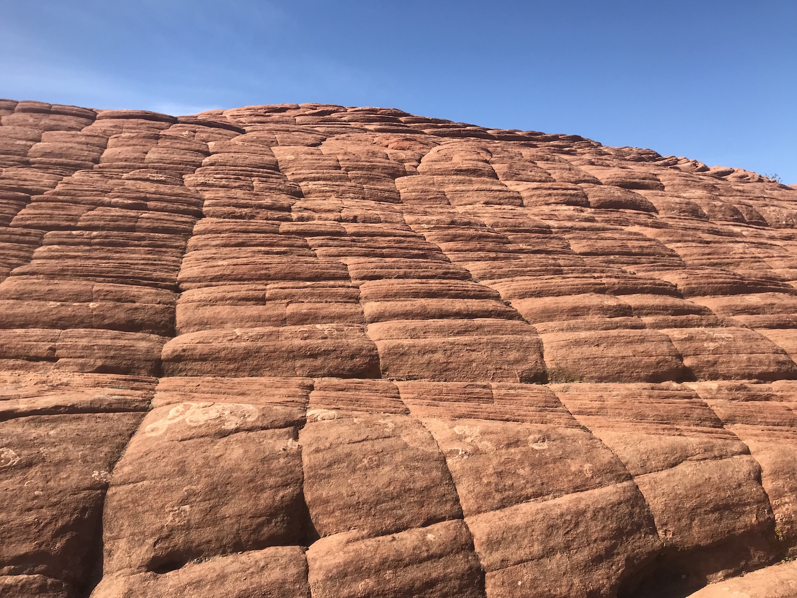
After a flat section through the desert scrub, the trail climbs up the solid waves of the Petrified Dunes. Nearly 200 million years ago, these were vast expanses of soft, quartzite sand. Solidified by wind and water over millions of years, the sandstone was shaped into solid, rippled Martian hills, ranging from vibrant orange to creamy white. Keep in mind that Snow Canyon sits at the intersection of the Colorado Plateau, the Great Basin Desert, and the Mojave Desert, rendering it a rare miracle of geological and biological phenomenon. You’ll definitely sense this as you climb the smoothly carved waves and natural sandstone staircases.
A few rare, hearty specimens of desert foliage—willow, scrub oak, and yucca—sprout from the rock at the top of the first sandstone hill. From here, views abound of the Red Sands and the black, jagged peaks of the West Canyon, under which lie lava tubes. The lava flow accounts for the very shape of the canyon as well as the black soot marking the peaks of the canyon, which were at one time the canyon floor. About 1.5 million years ago, nearby cinder cones erupted, spilling lava that shaped the canyon walls we see today.
After climbing down the Petrified Dunes, the Butterfly Trail’s grand finale is a crater formed when the ground collapsed into one of the lava flow tunnels. Here, it’s possible to climb in and explore the tunnel, which is really more of a cave (look for remnants of stalagmites and stalactites). Be careful on the rocks, which are incredibly sharp and will easily chafe your hands as you ease your way down.
This marks the end of the Butterfly Trail, from which you can turn and make your way back to the parking lot, or extend by taking a left on Lava Flow Trail. Lava Flow eventually joins with West Canyon Road. Take a left here and additional lefts on Hidden Pinyon and Petrified Dunes for an extended loop (about five hours) back to the parking lot. In the late spring and early fall, Snow Canyon can really heat up, so be sure to bring plenty of water and sunscreen. Depending when you go, keep an eye out for the rare forms of wildlife not found anywhere else in Utah, including the desert tortoise, which has existed since the age of dinosaurs and travels throughout the canyon every spring.
Getting there: It’s a straight shot on I-70 West to Sulphurdale, where 70 merges with I-15. Take I-15 South to Exit 8 in St. George. Take E 100 N west to 1000 E. Take a right on 1000 E and then a left on E Red Hills Pkwy. Take E Red Hills Pkwy north until it turns into Snow Canyon Pkwy. This takes you directly to Snow Canyon State Park. Alternately, Las Vegas airport is only about two hours away. There is a $6 per vehicle day-use fee.


