The Local newsletter is your free, daily guide to life in Colorado. For locals, by locals.
- Length:
- 2.5 miles (round trip)
- Difficulty:
- Moderate
- Trailhead:
- Panorama Point Picnic Area (39.87598630542329, -105.44072037527258)
- Why we love it:
- It’s a relatively short, family friendly stroll with vibrant forest, amazing views, and a modest elevation gain and loss.
- When to go:
- Late spring through mid-to-late fall, when most of the snow has melted from the trail.
- Pre-hike fuel:
- Before you head into the foothills, visit Golden’s Higher Grounds Café for fair trade, organic coffee, freshly baked pastries, and overstuffed breakfast burritos.
- Restrooms:
- Outhouse at the trailhead
- Dogs:
- Allowed on leash
This scenic hike explores the northwestern corner of 12,000-acre Golden Gate Canyon State Park, one of the gems of Colorado’s extensive park network. Tucked into the foothills northwest of Golden, the park is easily accessible from the plains as well as the Peak-to-Peak Highway and offers great hiking, mountain biking, camping, snowshoeing, and wildlife viewing.
Each of the park’s 11 trails is named for an animal native to this area (and is signed with that creature’s footprints). One of my favorites is the Raccoon Trail, a short loop that begins by the brick outhouse next to the parking area at popular Panorama Point.

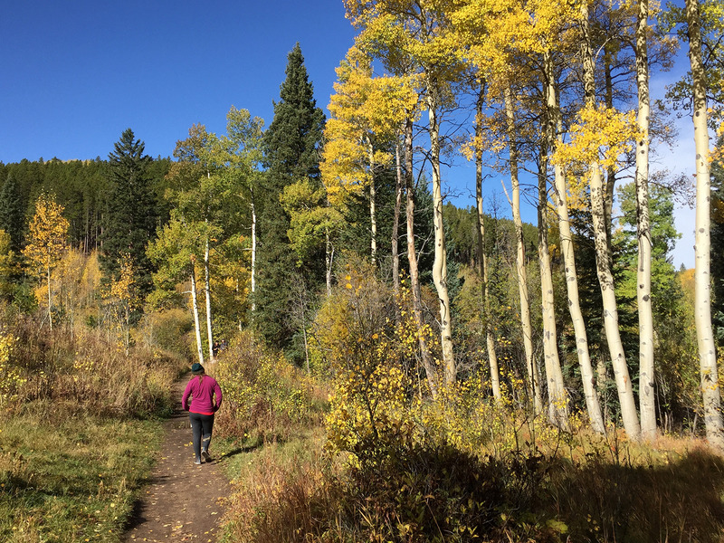
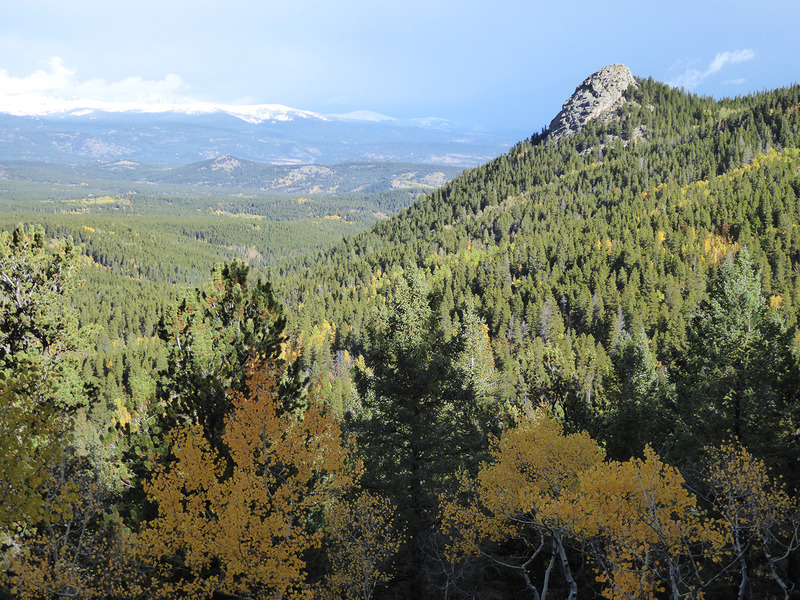
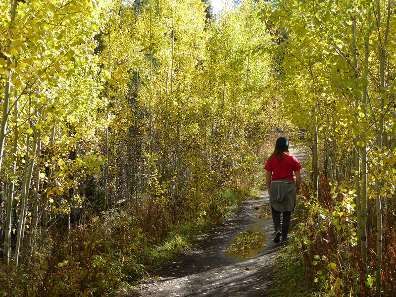
Begin by following the trail along the south (road) side of the outhouse towards Reverend’s Ridge Campground. You’ll almost immediately drop into one of the area’s largest groves of aspen, where golden leaves seem to glow during the fall foliage season, which here at 9,000 feet usually peaks in early October. After exiting the aspen grove, the trail begins to descend as it winds through tall stands of spruce-fir forest typical of this sub-alpine environment. Within a short distance, you’re treated to great views of the high peaks strung along the towering Continental Divide.
As you continue counter-clockwise around the loop, the trail drops about 500 vertical feet through more pockets of aspen and a few open, sunny meadows in between patches of blue spruce and Douglas fir trees. Although the trail is well signed, there are three junctions that can temporarily cause confusion. The first is the intersection with the eastern branch of the Mule Deer Trail; the second, a spur of the Raccoon Trail that leads to the Reverend’s Ridge Campground (follow the path labeled “To Gap Road,” not the route labeled “Access To Campground”); and finally, another junction with the Mule Trail (follow the signs to Panorama Point).
After this third junction, the trail climbs steadily through the forest and ends next to two large wooden platforms at Panorama Point. Here you can enjoy the best views of the high peaks while savoring the satisfaction of completing this rewarding loop.
Getting there: From Golden, follow Colorado 93 north for about 7 miles to the junction with Coal Creek Canyon Road (CO 72). Turn west (left) here and follow this winding road for 7 miles to its intersection with Twin Spruce Road. Turn left onto Twin Spruce and continue along it for 2.7 miles to a junction with Gap Road. Veer left here to follow Gap Road for 2 miles to the state park self-pay fee station, where the road turns to dirt. After paying, continue west on Gap Road for about 3 miles to the parking area for Panorama Point.
Logistics: Parking costs $8 per vehicle, per day. Exact change is required at the fee station.


