The Local newsletter is your free, daily guide to life in Colorado. For locals, by locals.
Length: 9 miles round-trip and 4,600 vertical feet
Difficulty: Most difficult
Why We Love It: Every step of this hike features fabulous views of the Arkansas Valley and the surrounding Sawatch peaks
When To Go: Late June through early fall, once most of the snow has melted
Pre-hike Buzz: Forego the pre-hike buzz for a crack-of-dawn start to avoid afternoon thunderstorms. Instead, toast your accomplishment when you’re back in town at Salida’s Moonlight Pizza and Brewpub.
Restrooms: Outhouse at the trailhead
Distance from Denver: About 150 miles
Dogs: Allowed off-leash
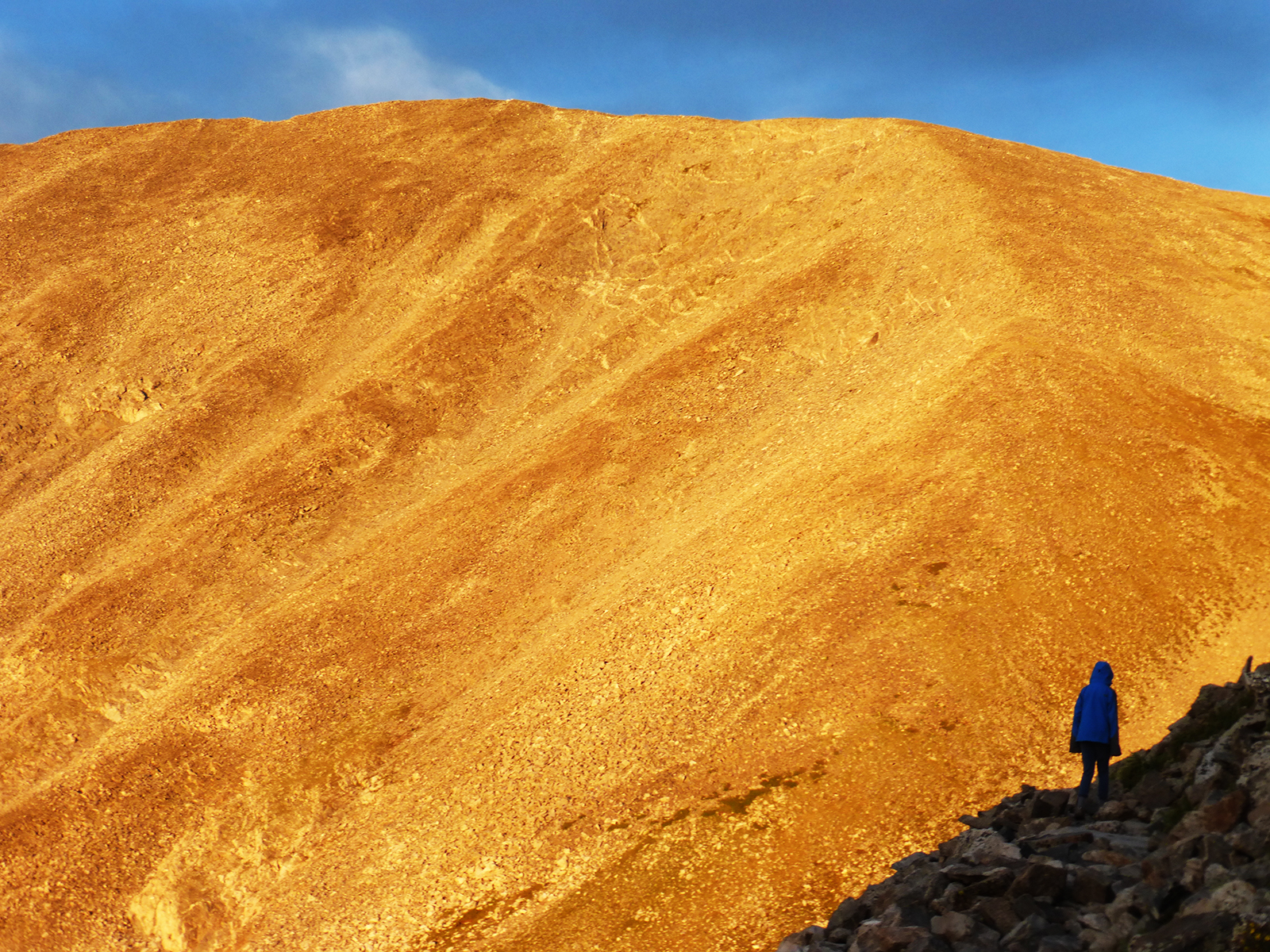
Mt. Shavano—named for a chief who led the Tabeguache Ute tribe in the mid-1800s—is one of three impressive “Native American” peaks (in addition to Tabeguache Peak and Mt. Antero) that loom over the southern end of the Arkansas River valley. Shavano, which stands 14,229 feet high, is best known for a snowfield on its eastern flank, the Angel of Shavano, which suggested to early settlers that the mountain was blessed. The angel can be climbed as a challenging snow route, but the standard trail, which skirts the famous snowfield’s northern edge, is far easier. Due to the route’s mostly southern exposure, its higher slopes often melt out before other, lower peaks, making it a good choice for an early season fourteener attempt.

From the trailhead, follow the obvious path 0.1 mile to the first junction. Turn right (onto the Colorado Trail) and follow this another 0.25 mile to the next junction, where you should turn left to follow the Mt. Shavano trail. From here, the straightforward route winds through tall stands of ponderosa pines and Douglas firs before crossing a small creek at about 10,800 feet. The trail continues to climb to the base of a talus field, where the route veers to the right (east) to execute a switchback.
From here, the trail contours around to the ridge’s northern side, where it bends left (west), then right (north), and finally left (west) again as you approach tree line. From here continue up the trail to a prominent saddle at about 13,400 feet, where you begin the final, boulder-hopping climb up the summit ridge. The higher you ascend, the more dramatic the scenery becomes. Keep your eyes peeled for wildlife, especially mountain goats and marmots.
Once you’re (finally!) standing on top, enjoy a well-deserved break—and the fabulous views of Mt. Antero to the north, Mt. Ouray to the south, and the town of Salida to the east. When you’re ready, retrace your route back to your car.

Getting There: From Denver, take US-285 south through Johnson Village and Nathrop to its junction with County Road 140 (about a mile north of the US-285/US-50 junction near Poncha Springs). Turn right (west) onto CR-140 and follow it 1.7 miles to a junction with County Road 250. Turn right and follow CR-250, which soon turns to dirt, for 4 miles to a junction with Forest Road 252. Turn left here and follow the road for 3.1 miles to the trailhead.
Logistics: Dispersed, low-impact camping is allowed near the trailhead. For important safety considerations, detailed route descriptions, and recent access and trail conditions visit 14ers.com.


