The Local newsletter is your free, daily guide to life in Colorado. For locals, by locals.
Length: 2.8 miles from the National Center for Atmospheric Research (NCAR) Mesa Trailhead
Difficulty: Moderate
Why we love it: Scenic views of Boulder, Denver, and the Flatirons, an educational aspect, forest cover, rock-climbing access, and a steep ascent. The hike’s a workout, but it won’t consume your whole day.
When to go: Any time of year, although snow will likely obscure the path in the winter; bring your micro spikes if you think there will be ice.
Pre-hike buzz: Caffè Sole off South Broadway (it’s on the way if you’re driving from Denver) serves great coffee and incredible eats. You can’t go wrong with the $5 breakfast sandwich: a fried egg, bacon, and Welsh cheddar on a house-made biscuit.
Restrooms: In NCAR’s Mesa Lab Visitor Center (Monday to Friday, 8 a.m. to 5 p.m,; Saturday and Sunday, 9 a.m.-4 p.m.)
Dogs: Must be leashed or on voice and sight control
Colorado folk are fit: They climb 14,000-foot peaks on the regular, ski in avalanche-prone backcountry, and plow down stretches of singletrack like it’s not completely insane. Half the time I’m on that level too, but occasionally—after I’ve sat at a computer for 10 hours straight and am looking to stretch my legs—I crave a satisfying hike I can squeeze in before dusk. Malloy Cave fits the bill, with its relatively short milage, scenic views, and accessible location.

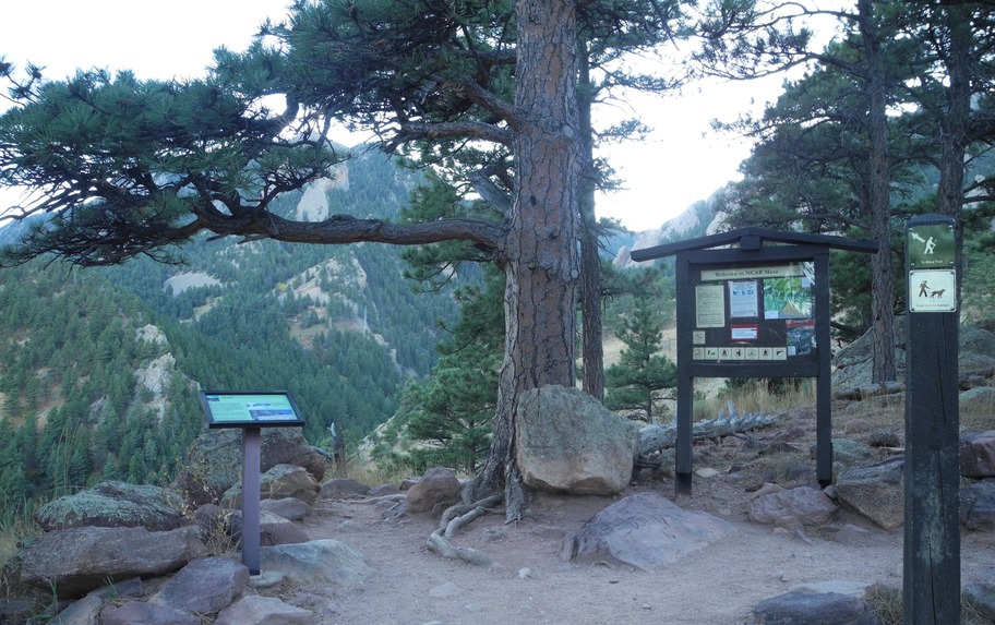
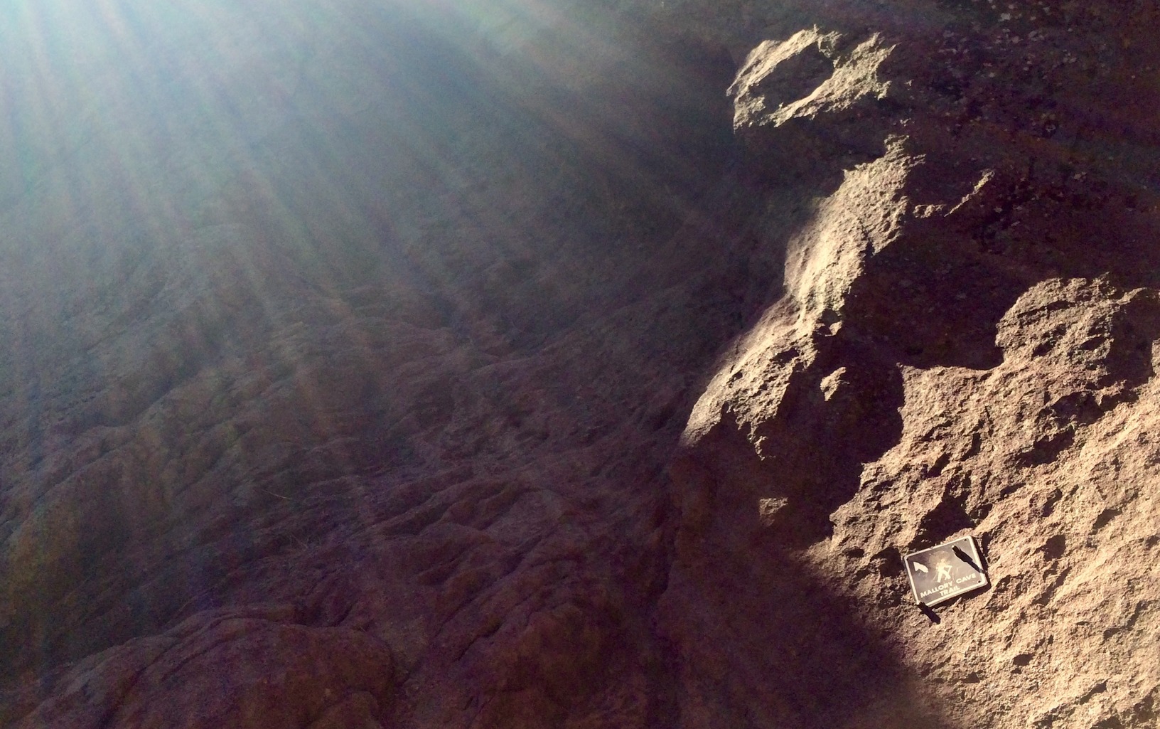
Park at NCAR and walk the short distance along the Walter Orr Roberts Trail, past educational signs that depict Front Range weather patterns, and toward the Mesa Trail. At one point, once you’ve passed a large, green water tank, the trail will fork. Veer left—the path on the right will take you to Chautauqua Park (you can also begin your hike there for a more substantial 5.4 miles). Continue and you’ll reach another fork and a trail map. Here, head left for the intense climb to the top of Boulder’s famed Bear Peak, but for Mallory Cave, follow the clearly marked sign straight ahead.

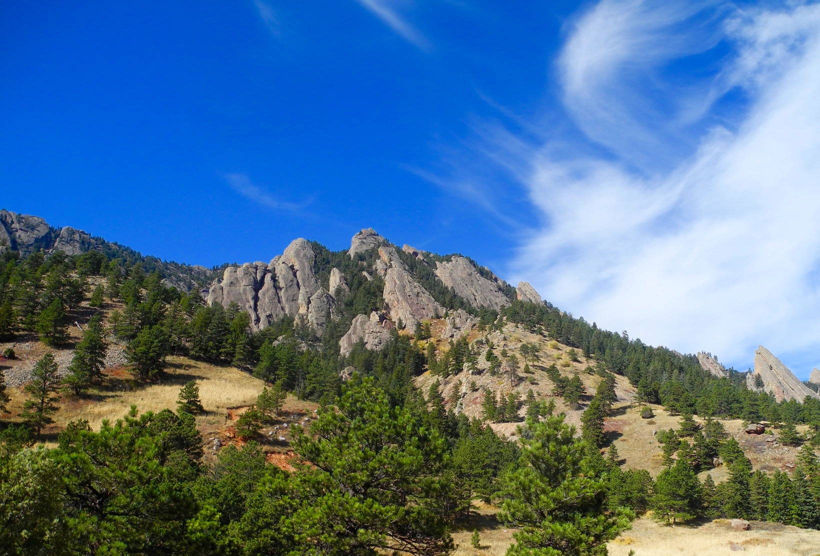
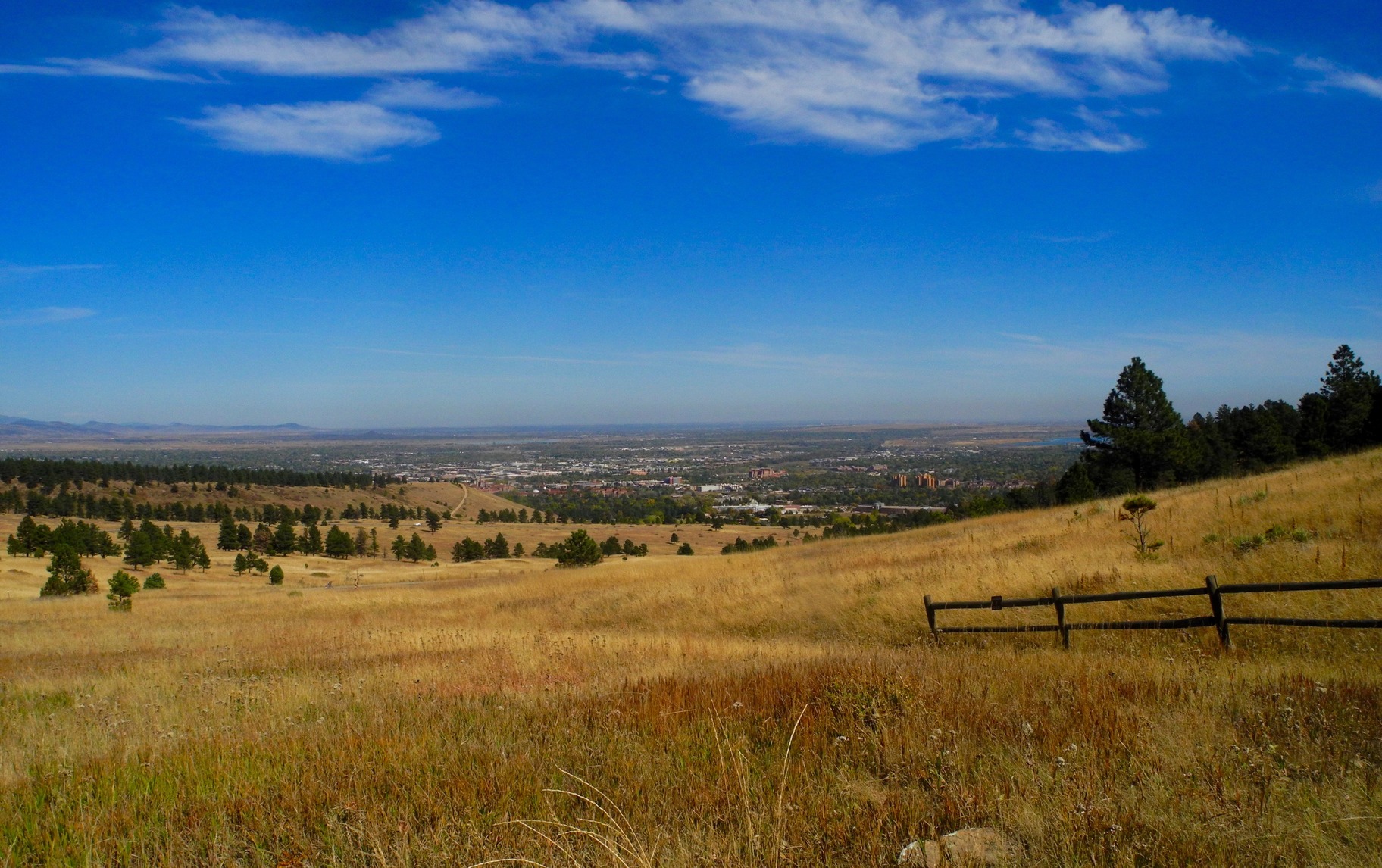
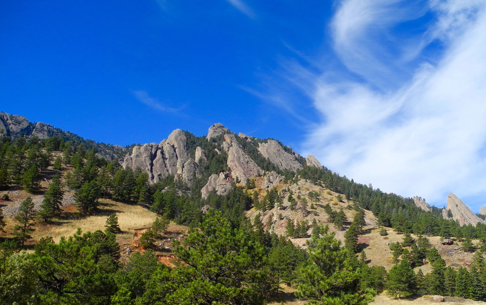
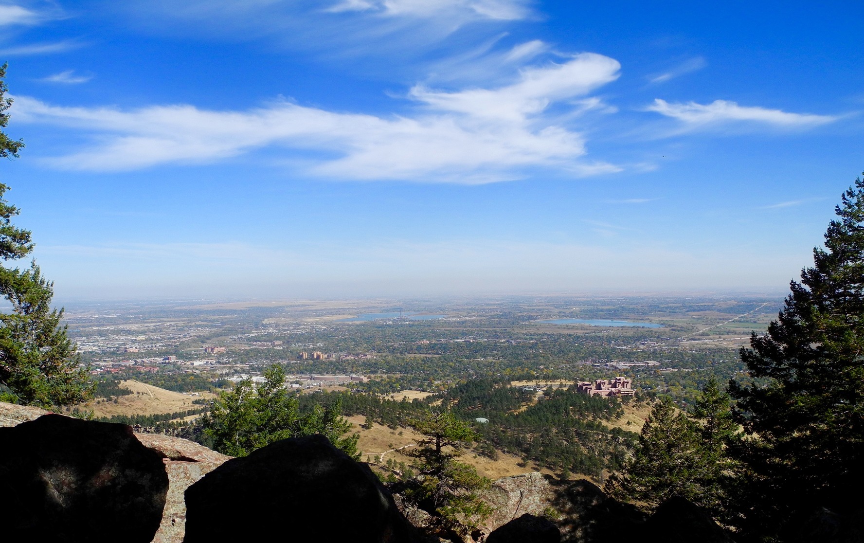
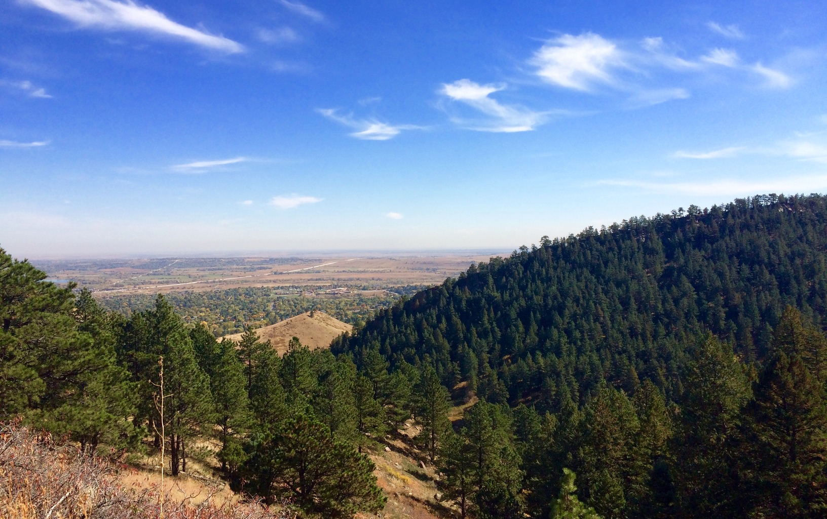
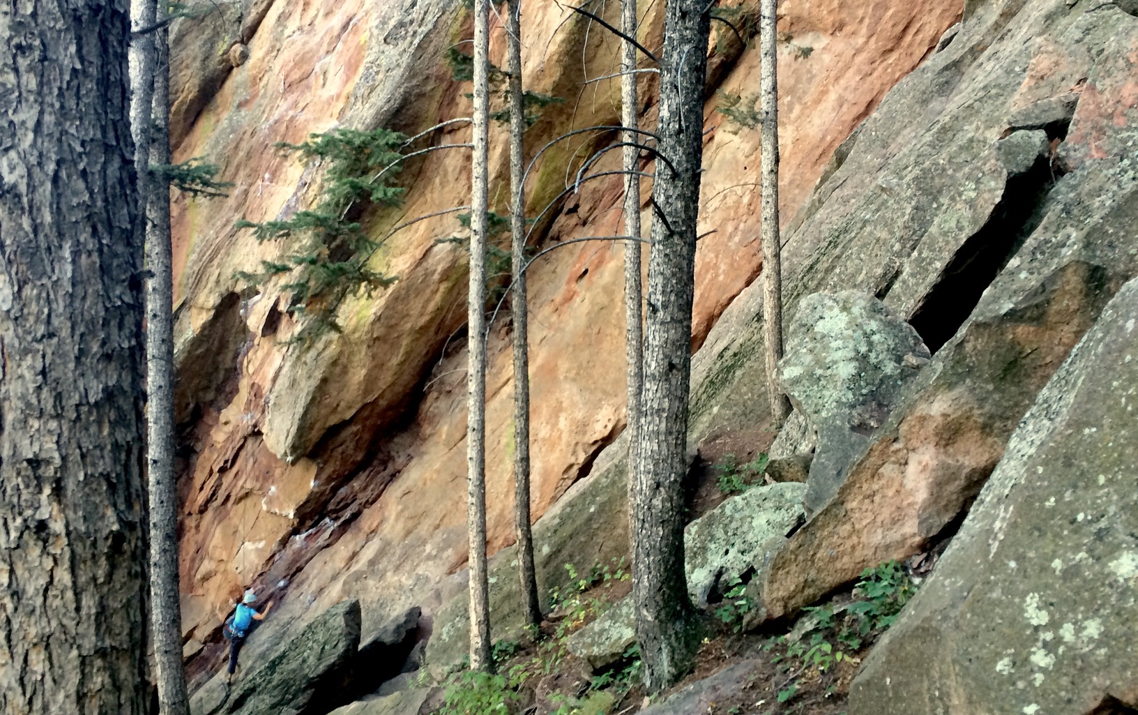
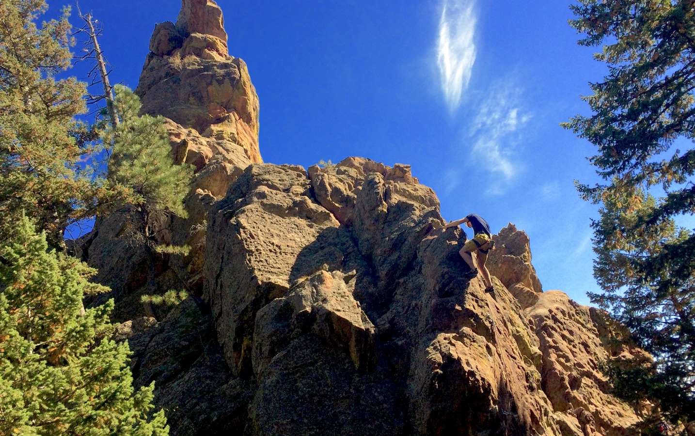
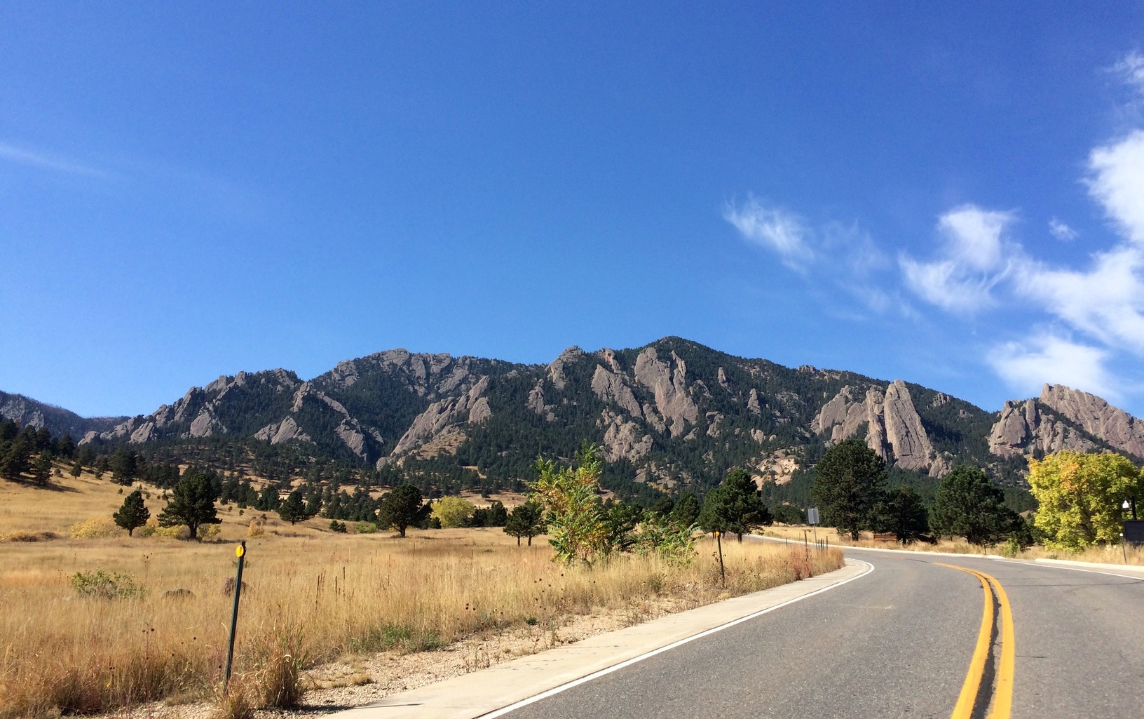
From this point, the hike consistently gains 940 vertical feet up Dinosaur Mountain, although there are numerous switchbacks that make the going that much easier. At times rocky, the trail winds through forest and sandstone formations, opening up to views of Boulder and the plains throughout. The best thing about the Mallory Cave hike, however, is the climbing access: Der Zerkel, The Hand, Finger Flatiron, and Shark’s Fin climbing areas are all accessible from the trail. Even if you don’t climb (I’m no expert), it’s thrilling to hear shouts of “I’m belaying” ring off the rocks, or look up to see a fellow Coloradan suspended 30 feet above your head.
You’re likely expecting that this hike tops out at a cave, and it does. However, because of the white-nose syndrome affecting bats throughout North America (5.7 million have died since 2006), the cave has been gated and will remain so to protect the Townsend’s big-eared bats that live there. Hikers can still complete the scramble at the end, enabling them to test their own bouldering skills and take in the panoramic view from the top. Although you can’t enter, the cave’s been a draw since it was first discovered by loggers, and later re-discovered—and first recorded—by E.C. Mallory, a University of Colorado Boulder student, in the summer of 1932.
On your way back down, head to the Mesa Lab Visitor Center to learn more about all the crazy, particular Front Range weather patterns, some of which you may have experienced on your hike. Once you’re done touching a cloud or learning why the dinosaurs disappeared, head to Under the Sun before hitting US-36. Relax over a pint of one of Mountain Sun’s craft beers and a wood-fired oatmeal chocolate chip cookie—you’ve earned it.

Getting there: From Denver drive north on I-25 and follow signs for US-36 West towards Boulder. Take the first Boulder exit for South Boulder Road / Table Mesa Drive. Turn left on Table Mesa Drive and continue for 3.5 miles until the road ends at NCAR.
(Check out more hikes we like)


