The Local newsletter is your free, daily guide to life in Colorado. For locals, by locals.
Why we love it: Serene forest, singing birds, and gentle terrain—all just a few miles west of Boulder.
When to go: The foothills are always great in summer, when the forest provides welcome shade. The best days to hike this trail are Wednesdays and Saturdays, when the trail is closed to mountain bikers.

Dogs allowed on leash.
The 4–mile loop explores the northern portion of Betasso Preserve, a nearly 1,200-acre parcel of Boulder County Open Space that’s located just 5.5 miles west of the Pearl Street Mall. The county purchased the core of this preserve—its first open space acquisition—in 1976 from Ernie Betasso, whose father, a miner, bought the land from the original homesteaders in 1915.
The trail begins on the south side of Fourmile Canyon Drive, where the Fourmile Link Trail drops steeply down a forested hillside before crossing Fourmile Creek. Although the September 2013 floods destroyed the bridge here, there are large, stable stepping stones in place to help you get across, and a new bridge is under construction.
From the crossing, the trail climbs a short distance to an open, grassy meadow, where it intersects the 2.4-mile Benjamin Loop. I recommend taking a left to follow this loop clockwise, especially if you’re here on a day when the trail is open to bikers, who are required to go in this direction.
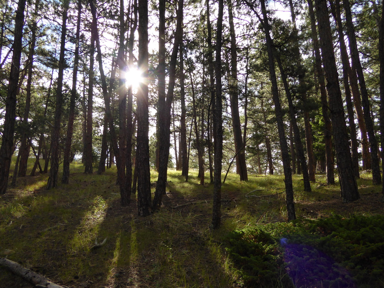
The smooth surface and gentle, rolling terrain allow plenty of time to simply enjoy the stately trees, the wildflowers (which, thanks to the cool, wet weather are still blooming), and the abundant birdlife, including downy woodpeckers, mountain bluebirds, Steller’s jays, and wild turkeys.
After returning to the trail junction, retrace the Fourmile Link 0.8 miles back to the road. In the summer, this loop is short enough to enjoy after work followed, perhaps, by a cold beverage or dinner along the Pearl Street Mall.
Getting there: From the Broadway and Canyon Boulevard intersection in downtown Boulder, head west on Canyon (CO 119). After 2.8 miles, turn right onto Fourmile Canyon Drive. Follow this road for 2.7 miles to a pair of emergency pullouts. The trailhead is located at the uphill edge of the south (left) pullout. Roadside parking is available 200 yards down canyon from the trailhead.


