The Local newsletter is your free, daily guide to life in Colorado. For locals, by locals.
Length: 6.6 miles round-trip and 1,800 vertical feet
Difficulty: Moderate
Why We Love It: This is one of the best alpine wildflower hikes near Denver.
When To Go: This route is at its best in July and early August, when the wildflowers are blooming.
Pre-hike Buzz: Stop by Nederland’s New Moon Bakery & Cafe to enjoy a cup of locally roasted coffee and a warm, buttery croissant or a thick slice of quiche on their spacious deck.
Restrooms: Vault toilets at the trailhead
Distance from Denver: About 55 miles
Dogs: Allowed on leash
As the midsummer heat ramps up in Denver, adventure-seekers are easily lured to higher (and cooler) elevations—preferably with stunning views and an alpine lake to take a dip in.

Arapaho Pass Trail, which is decidedly one of the Front Range’s most scenic and accessible alpine valleys, has everything you are looking for in a summertime jaunt, and then some. In July and early August, this magical place hosts phenomenal wildflower displays, including purple asters and monkshood, bright yellow Marsh marigolds and golden banner, and ornate blossoms of Columbine, our state flower. These blooms are only made more spectacular when transposed with the neighboring snow-covered peaks, making this route a photographer’s paradise.
From the bustling Fourth of July trailhead in the Indian Peaks Wilderness, follow the gently winding path through aspen and spruce forest before leaving the valley floor to head up the valley’s south-facing sidewall. About 1.2 miles from the trailhead, bear right at the junction with the Diamond Lake trail to remain on the Arapaho Pass trail. After a few more switchbacks, the views open up as the trees thin and several peaks, including South Arapaho Peak, come into view.
A little over halfway (1.5 miles) to the pass and soon after leaving the forest, the trail reaches the abandoned Fourth of July Mine and a junction with the western end of the Arapaho Glacier trail. As you continue straight on the Arapaho Pass trail, you’ll get views of a series of old mining pits just off the path as well as the rusty remains of some metal mining apparatus.
From the mine, the trail continues west before zig-zagging up the final slopes to 11,906-foot-high Arapaho Pass, which is perched atop the Continental Divide, the “backbone” of North America. If you put one foot on each side of the highest point, you’ll straddle two major drainages at once—all the water flowing down the east side eventually runs into the Atlantic, whereas every drop that heads westward ultimately ends up in the Pacific.
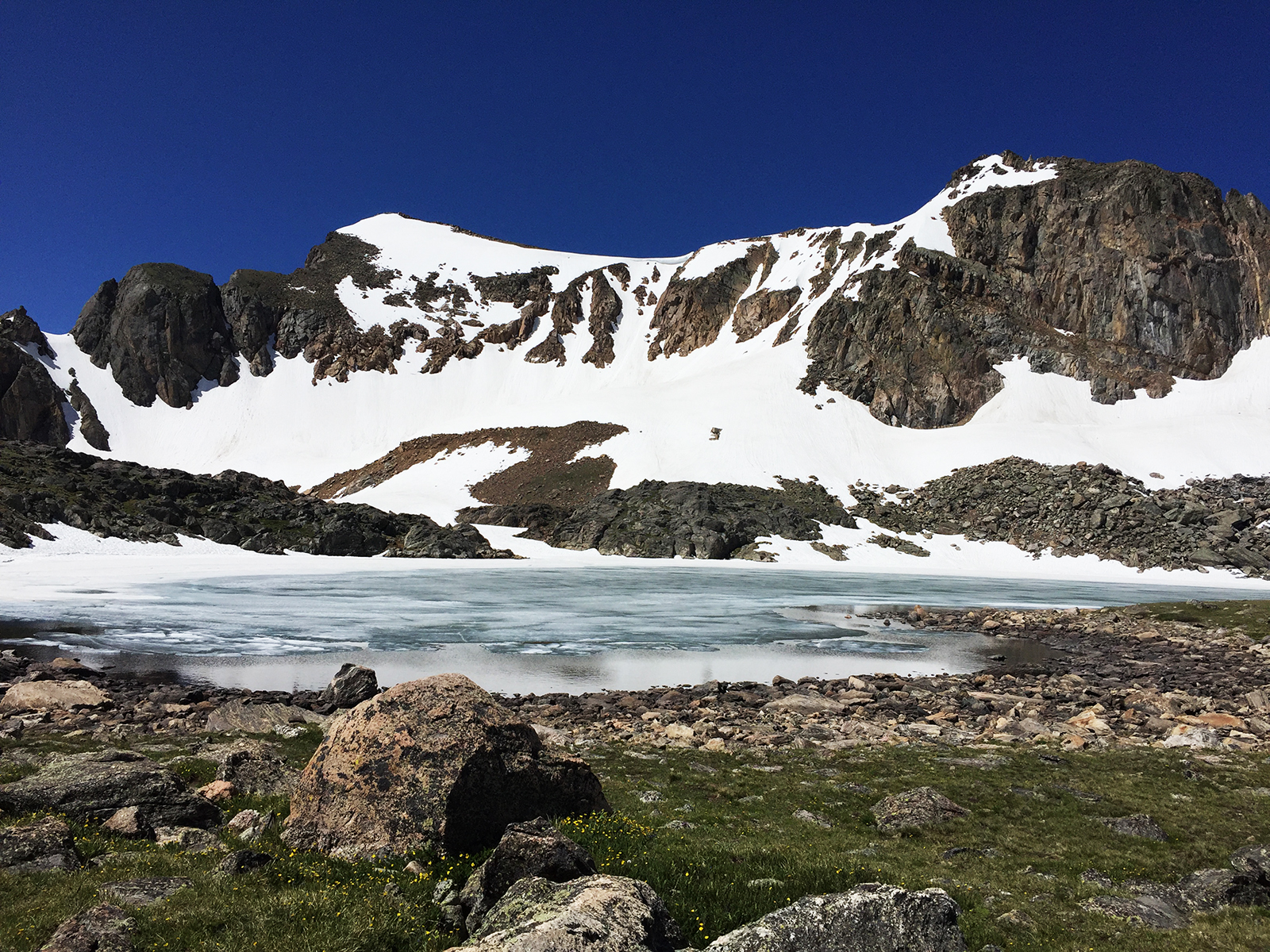
You could stop the hike here, but if you’re up for it, we recommend continuing a little farther. Turn left on the unsigned trail at the pass’s crest to stroll another 0.25 miles to sparkling Lake Dorothy, which is nestled at the base of Mt. Neva’s sheer, 500-foot-high cliffs. This is a great place to relax and refuel before retracing your route through the carpets of wildflowers and back to your car.

Getting There: From Nederland, head south on Colorado Highway 119 for 0.6 miles to the junction with Eldora Avenue (County Road 130). Turn right to follow Eldora Avenue through the small town of Eldora. About 4 miles from Highway 119, bear right at the Hessie Junction and continue another 4.8 miles on a rough but 2WD-accessible dirt road to the Fourth of July trailhead. Parking is extremely limited here, especially on the weekends. If you don’t get there early, you won’t get a spot.


