The Local newsletter is your free, daily guide to life in Colorado. For locals, by locals.
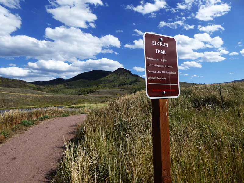
Length: 5.1 miles, one way
Difficulty: Easy
Why We Love it: It’s a wide, flat trail with views that you can enjoy in any season — try it on foot, fat tires, snowshoes, or cross-country skis.
When to go: Year-round
Pre-hike buzz: Jumpstart your day at MountainBrew in Steamboat Springs with coffee brewed from small batch-roasted Arabica beans and a grilled breakfast sandwich.
Dogs: Allowed on leash
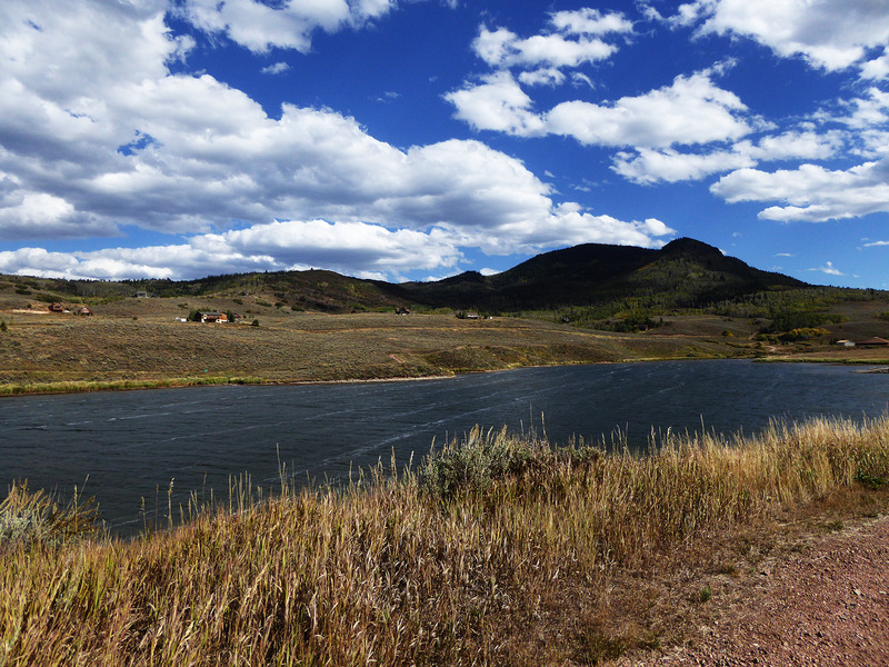
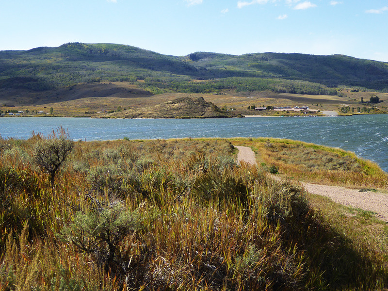
Located between the towns of Yampa and Steamboat Springs, Stagecoach State Park is one of Colorado’s gems. Despite the beauty of its 3-mile-long reservoir and scenic views of the Flat Top Mountains, this park receives just 150,000 visitors per year, making it an ideal spot for birdwatching, fishing, and peaceful reflection.

The park’s longest path, the Elk Run Trail, parallels the lake’s southern shoreline from the river inlet to the dam. Unless you have two vehicles, there’s no easy way to run a shuttle, so most hikers will prefer to begin in the middle at the Morrison Cove boat ramp. From here, the trail runs 1.9 miles to the east (towards the dam) or 3.2 miles to the west. Either direction offers a peaceful out-and-back walk along a very wide, gravel path with modest undulations of less than a couple hundred vertical feet.
The reservoir is known for its fabulous fishing — including “fast-growing, hard-fighting” rainbow trout, record-size northern pike, and the occasional brown trout — and wildlife watching. More than 200 bird species, including American white pelicans and white-faced ibis, have been spotted here, and elk, mule deer, and cottontail rabbits are frequent visitors.
If you’d like to explore the Elk Run Trail in winter, the park office offers free fat tire bike and snowshoe rentals, as well as year-round fishing equipment and supplies.
Getting there: From Steamboat Springs, head east on U.S. 40 (Lincoln Avenue) to the junction with CO 131. Turn right and follow CO 131 south about 6 miles. Next, turn left onto County Road 14, which winds southward for about 7 miles to the junction with County Road 16. Turn left and follow this paved road across the river to the first trailhead parking area on the left, which marks the trail’s western end. If you’d rather start walking in the middle, continue east on County Road 16 for 3 miles to the junction with County Road 18A. Turn left here and follow County Road 18A to the Morrison Cove boat ramp, where there is trailhead parking.
Logistics: The state park charges a $7-per-vehicle entrance fee; exact change is required at the self-service pay stations located along this trail.


