The Local newsletter is your free, daily guide to life in Colorado. For locals, by locals.
Length: 3.2 miles roundtrip
Difficulty: Easy to moderate
Why we love it: This hike is the ideal length and grade for stretching your legs after the long drive through Colorado’s northwestern corner
When to go: Any time, although it can be muddy if it has recently rained and hot in the summer
Pre-hike buzz: There are several options in Vernal, Utah, the closest town, including Shivers n Jitters Espresso, which serves up smoothies, shakes, and shaved ice as well as coffee
Restrooms: The closest facilities are in the Quarry Visitor Center 2 miles west of the trailhead
Dogs: Not allowed on this trail
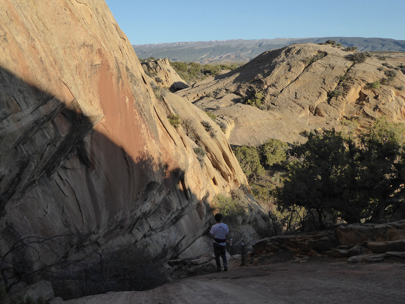
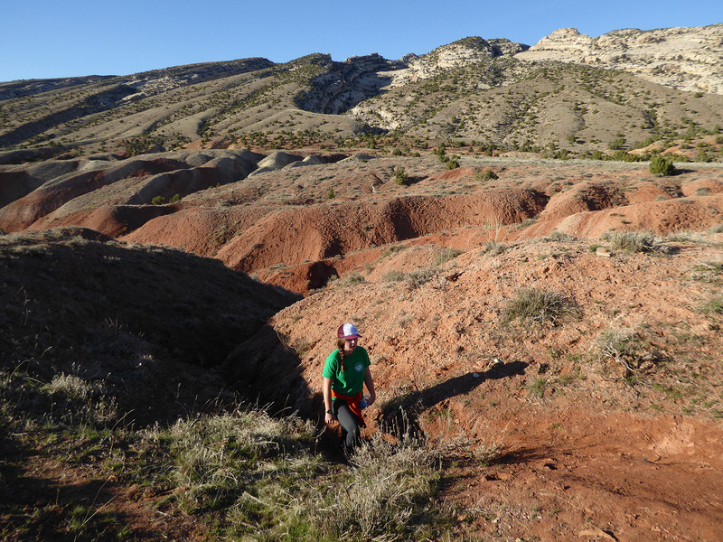
This picturesque trail in the western side of Dinosaur National Monument—located on the border of Colorado and Utah—winds through multicolored badlands and crazily tilted sandstone layers deposited at the same time that Stegosaurus, Allosaurus, Apatosaurus, and the park’s other dinosaurs roamed this land about 150 million years ago. Like any visit to this remote region, this loop is a fun adventure—just be prepared to get your feet a little muddy if it has rained recently.

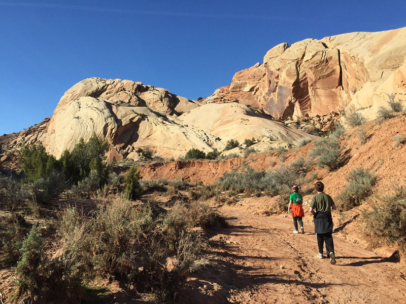
The well-marked route completes a clockwise loop that begins by following the sandy bottom of Red Wash northwest from the trailhead. In a couple of locations, it’s necessary to scramble up onto the bank and walk a short distance around the wash to avoid large trees.
Roughly a mile from the trailhead, small, brown signs direct you into a narrow opening carved through the badlands. From here, the route winds upward through a series of red, gray, and green-tinged gullies. Because the grains of this clay, which was deposited along ancient, muddy floodplains, act like shingles, they prevent water from draining and thus stay gooey for a long time. Although it’s tempting to scramble around the mud, stay in the gully to avoid damaging the trail.
Within half a mile, you climb out of the gullies and onto the slickrock, where you’ll find wonderful views, including the steeply tilted layers of Split Mountain, one of the monument’s most visible and scenic landmarks. After bending to the east, the trail climbs up and over a ridge, then drops down a series of tilted sandstone layers, where you may need to use a hand or two to scramble down a couple of sections. As you do, keep an eye out for the high-angle layers of ancient sand dunes that once blew through here.
Once down this short stretch, the trail follows a small, sandy wash back to the junction with Red Wash. Turn left here to walk the short distance back to your car, enjoying the pink-and-tan scenery and absolute silence along the way.
Getting there: From Vernal, Utah, follow U.S. 40 east for about 13 miles to the junction with Road 149. Turn left onto 149 and follow this about 6 miles to the Quarry Visitor Center, where you must pay an entrance fee ($20 per vehicle), then continue east on Road 149 for another 2 miles. The signed trailhead is located next to a dirt pullout on the left (north) side.


