The Local newsletter is your free, daily guide to life in Colorado. For locals, by locals.
- Length: 3 miles
- Difficulty: Moderate
- Why we love it: Take in the quintessential Mars-like vistas of the Moab area while skipping the crowds at Arches National Park (and barely breaking a sweat).
- Pre-hike buzz: Get a hot coffee or icy cold brew from Moab Garage at the Corner of East 100 North and Main Street. After your hike, you can grab a freshly made nitrogen ice cream from the same establishment.
- When to go: Ideal in fall or spring
- Restrooms: At the trailhead
- Dogs: Must be leashed and there’s a short ladder on the trail where you might have to lift your pup
- Heads up: Sturdy shoes with good tread are a must
There are more otherworldly jaunts around Moab than we can count, but the Corona Arch trail is among our favorites. The easy trek is low-hanging fruit for exploring southern Utah’s auburn vistas and sandstone curvatures. The trail ascends only 250 feet over about a mile and passes three arches in total, including Bowtie and Pinto arches. Hikers will stroll from just above the east bank of the Colorado River to the trail’s gargantuan namesake, the roughly 100-foot-tall Corona Arch.

Almost immediately, the trail crosses railroad tracks that cut through the towering red stone walls on your right-hand side. Locate the Bureau of Land Management sign-in sheet at this juncture, pen your name, and continue on. The walk goes on through soft sand and then over uneven slickrock speckled with sandstone slabs and gravel. At times, it’s tricky to tell where you are meant to walk, so keep an eye out for cairns marking the way.


You’ll know you’re on the right track when you reach the first cord strung like a handrail along a tilted portion of trail. Climb up the foot holes punched into a sandstone slope to your left (flanked by another rope, to help you hold on). Next, make your way up the metal ladder to your right and then walk along the sculpted ridge to Corona arch. This last leg of the trek is the clearest spot from which to photograph the arch. Continue on to hike directly beneath it and gain the full effect of its height and grandeur from below.
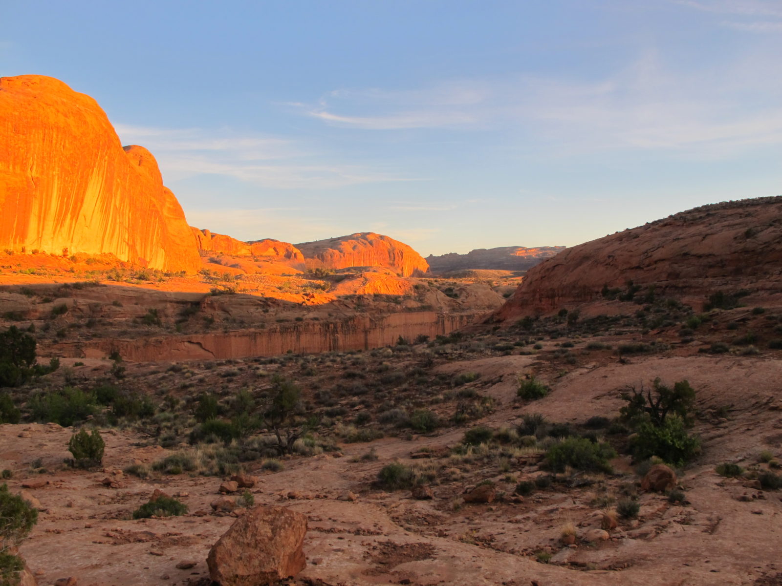
The intricate details of the slickrock landscape around Corona look particularly beautiful in the glowing light of sunrise or sunset. Pro tip: Bring a headlamp to (very carefully) enjoy the trail at dusk.
Getting There: From town, head northwest on U.S. 191. About a mile west of the Colorado River bridge, turn south (left) on Utah 279 (Potash Road ). Continue south on Utah 279 for 10 miles. The Corona Arch Trailhead will be your on the right, directly opposite the Gold Bar Campground.


