The Local newsletter is your free, daily guide to life in Colorado. For locals, by locals.
Length: 6 miles round-trip
Difficulty: Moderate
Why we love it: It gives you a taste of the Colorado Trail without the commitment of an overnight outing
When to go: May through October, once most of the snow has disappeared
Pre-hike Buzz: Stop by the Brown Dog Coffee Company in Buena Vista for an almond twist and a cup of freshly roasted coffee or a frosty glass of iced tea
Restrooms: None at the trailhead
Dogs: Allowed off leash
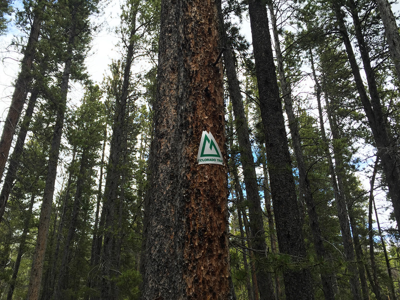
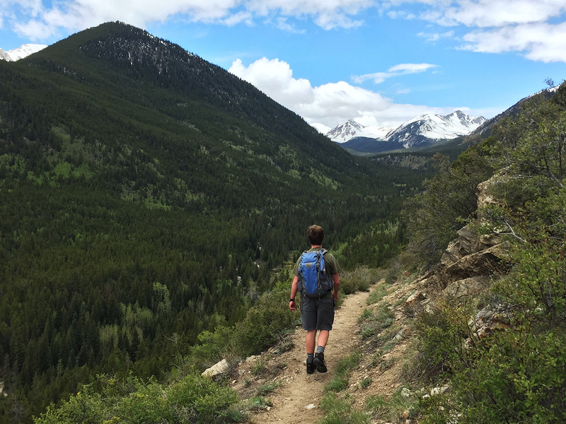
If, like me, you haven’t yet found the time to hike the entire Colorado Trail–the spectacular 500-mile-long route that runs between Durango and Denver—this segment near Buena Vista is a great introduction to the trail’s charms. This route traverses forests along the slopes of the 14,078-foot-high Mount Columbia toward a pair of lakes known for their plump trout. Along the way, you’re treated to far-reaching views of many Collegiate Peaks and the Arkansas Valley.

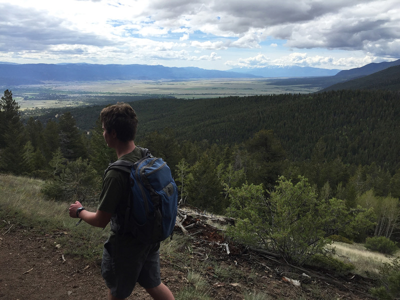
The first stretch, which climbs steeply out of the North Cottonwood Creek valley, is the most challenging section of this trail, climbing a total of 900 feet. After cresting, the trail then winds through the woods, passing large, gnarled Douglas fir trees (look for their mouse-tail pine cones), as well as thick stands of spruce, aspen, and lodgepole pine. Several clearings offer distant views down toward the Arkansas River and up to the summit of a neighboring fourteener, Mount Princeton.
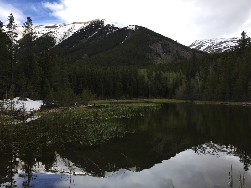
After a few more short, uphill pitches, the trail reaches the first Harvard Lake on the right; the second is just a couple of minutes up the path. The second is an especially sweet spot in early summer, when Mount Columbia’s still snow-capped shoulder is reflected in the lake’s calm, clear water. Either one makes a nice picnic or fishing spot (don’t forget that mosquito repellant) before retracing your steps to your car.
Getting there: From the only traffic light in downtown Buena Vista, head north on US-24 for 0.4 miles to County Road 350 (Crossman Avenue). Turn left (west) onto Crossman and continue for 2 miles before turning right onto County Road 361. Head north on CR-361 for 1.1 miles, and then turn left onto County Road 365, a dirt road that’s a bit rough but accessible to most 2WD vehicles. After 3.6 miles you’ll reach a small pullout on the left across the road from a trailhead for the Colorado Trail (CO Trail 1776). If you reach the Silver Creek Trailhead, you’ve gone too far, although there is more parking here if needed.


