The Local newsletter is your free, daily guide to life in Colorado. For locals, by locals.
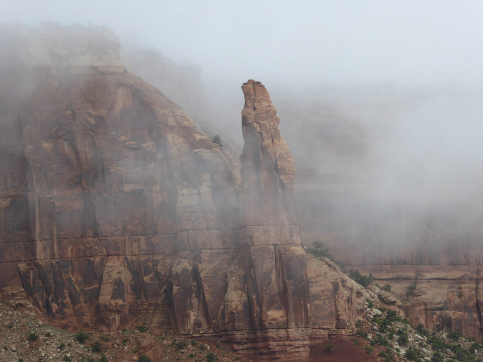
Colorado National Monument was created in 1911 to protect one of the American Southwest’s most iconic landscapes. Located just west of Grand Junction, the 32-square-mile monument features slender spires, towering rock monuments, and sheer-walled canyons—all slickrock scenery most commonly associated with Moab and other southern Utah destinations. That’s because Colorado National Monument hosts a similar geological layer cake of soft pink, red, and white sandstones, and other sedimentary rocks from which masterpieces like Moab’s famous arches are carved.
Colorado’s namesake monument lies along the eastern edge of the Colorado Plateau, the geographic province centered on the Four Corners region. There, a thick pile of river-deposited and wind-blown sediment accumulated during the dinosaurs’ time, and was later cemented into a stack of sedimentary rocks. These colorful layers overlie dark metamorphic “basement” rocks that are 1.7 billion(!) years old and, thanks to their long history, are riddled with ancient faults.

(Read 5280‘s guide to the Four Corners region)

Although such faults often appear to be extinct for (geologically) long periods of time, they merely lie dormant, ready to be awakened during the next mountain-building episode if conditions are just right. That’s exactly what happened to the Redlands Fault, a major weakness in the Grand Valley. It awoke from its slumber about 65 million years ago during the mountain-building episode that uplifted Colorado’s modern Rockies. Gradual motion along this fault slowly bent the stack of sedimentary layers, raising the rocks on the west more than 2,000 feet above the ones to the east. The result was a one-sided fold—akin to a strip of carpet bent over a stair riser—that geologists call a “monocline.”
Streams have since carved sheer-sided canyons into this lopsided fold to create today’s spectacular scenery. In the bottom of many of these canyons the erosion has been extensive enough to expose the dark basement rocks below. You can see these truly ancient stones and explore the monocline’s ups and downs along the extensive trail system, or by driving or cycling the national monument’s Rim Rock Drive. This 23-mile-long loop, most of which was hewn by hand during the 1930s, features 19 overlooks with unforgettable views. If you visit, don’t miss the Independence Monument viewpoint, which offers a great look at the park’s largest and most famous free-standing formation. Like Colorado National Monument’s other spectacular rock sculptures, 450-foot-high Independence Monument welcomes visitors while it waits for its next groundbreaking (literally) geological event.


