The Local newsletter is your free, daily guide to life in Colorado. For locals, by locals.
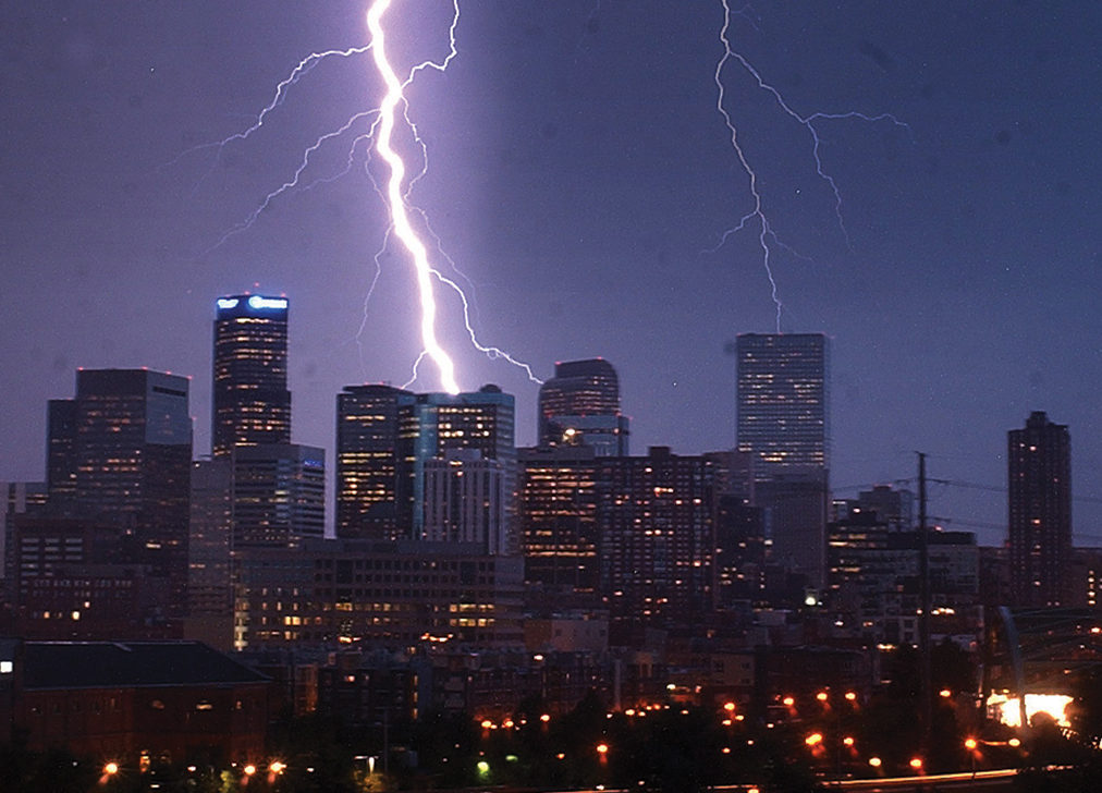
If you’ve lived in Colorado for more than a week, you know to pack a raincoat, a sweater, and sunglasses no matter the season. A new satellite could help lighten that load. Once it enters orbit on November 19, the GOES-R satellite, built by engineers at Littleton-based Lockheed Martin, will scan the Western Hemisphere every 30 seconds to 15 minutes, collecting an average of 1.5 terabytes of data each day. That’s 20 times more info than similar satellites gather. This informational trove means forecasters at Boulder’s National Oceanic and Atmospheric Administration will now be wrong only about 30 percent of the time when they recommend stowing an umbrella in the car. Think that number seems high? In the past, meteorologists incorrectly predicted hailstorms on 80 percent of occasions. (No wonder we have to prepare for every type of weather.) GOES-R also contains a device that will measure lightning strikes within clouds—a process that’s never been used for forecasts before. By tracking bolts before they hit the ground, scientists can determine the severity of an imminent thunderstorm about 20 minutes before raindrops start to fall. That’s still not enough lead time to upgrade your car insurance, but at least it’s enough warning for you to get someplace warm and dry.


