The Local newsletter is your free, daily guide to life in Colorado. For locals, by locals.
Length: 4 miles roundtrip
Difficulty: Moderate
Why we love it: Despite its location close to Fort Collins, this trail feels remote and adventurous
When to go: Spring through late fall, or year-round with Yaktrax
Pre-hike buzz: Stop by the The Human Bean in northern Fort Collins for piping-hot classic drinks, as well as house specialties like a luscious Salted Caramel Mocha
Restrooms: Outhouse at the trailhead
Dogs: Allowed on leash
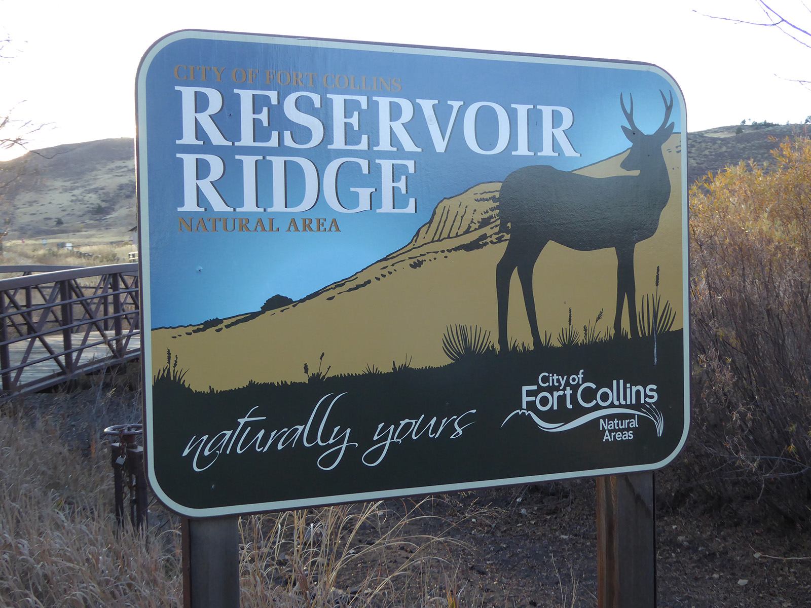
This four-mile “lollipop loop” explores the eastern side of the City of Fort Collins’ Reservoir Ridge Natural Area, which stretches westward from the tiny town of Laporte into the region’s low foothills. From the large parking area, follow the flat, wide Michaud Spur Trail for 0.4 miles to the signed junction with the Overland Trail.

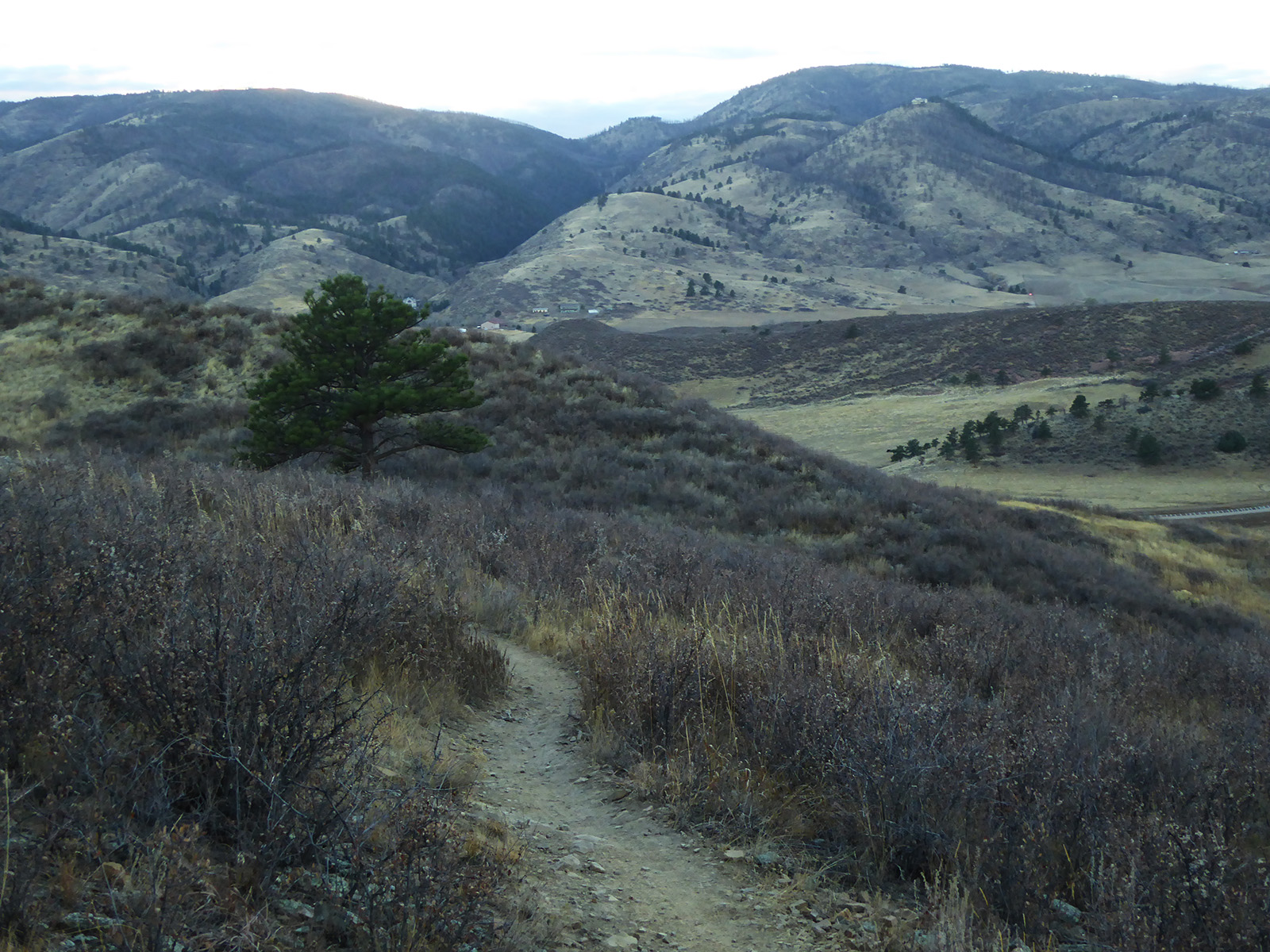
At this junction, veer right to remain on the Michaud Trail, which immediately begins to climb into the foothills. The route first bends toward the south, and then to the north, passing through open grasslands dotted with an occasional mountain mahogany bush and ponderosa pine. This natural area hosts abundant wildlife, so watch out for mule deer, foxes, or coyotes darting through the grass or a raptor soaring overhead. Rattlesnakes are also found here, so be sure to tread carefully.
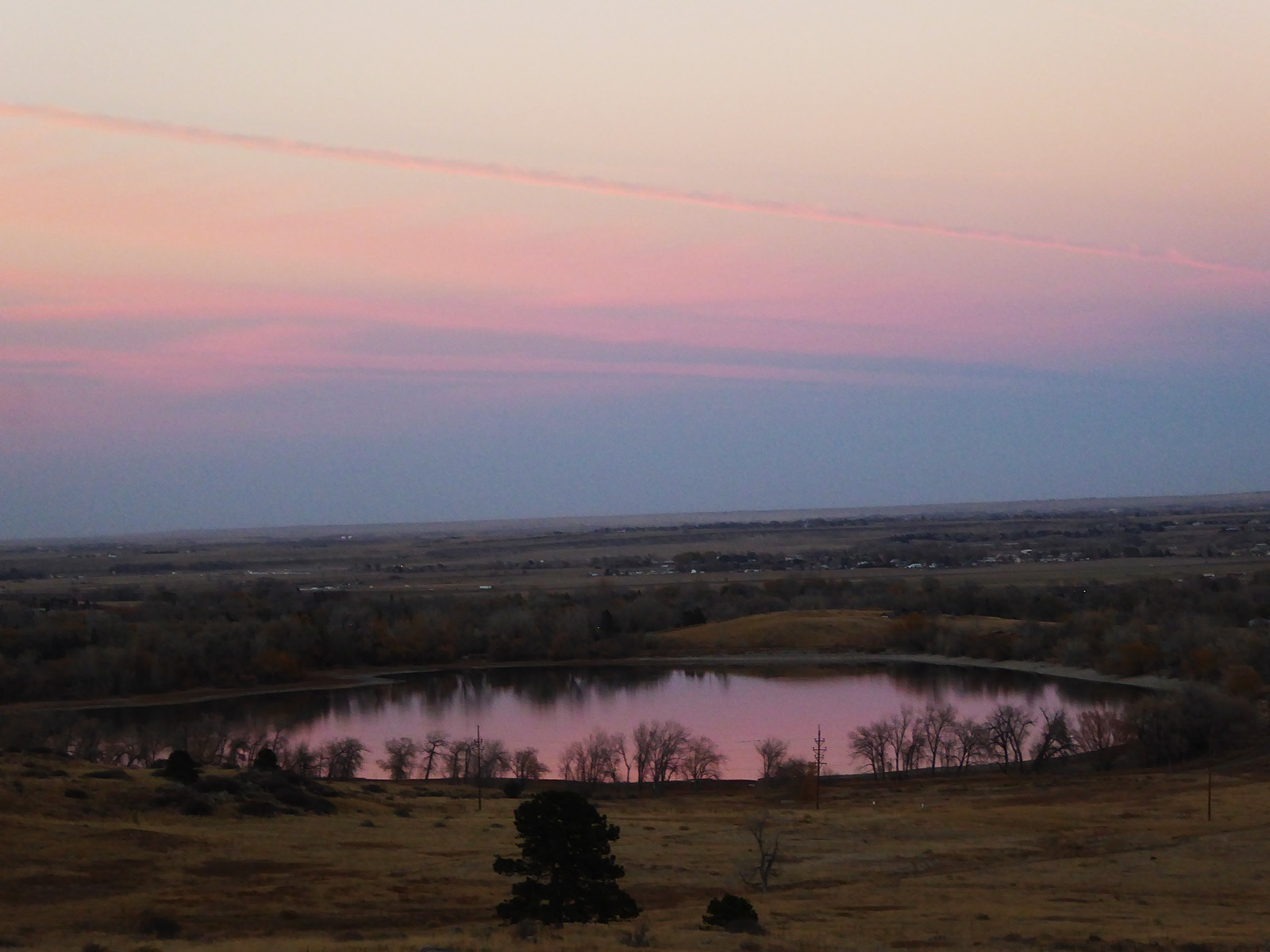
About 1.3 miles from the parking lot, an unsigned junction signals the start of the North Loop Trail. I recommend turning right here to follow the rocky path northwest for about 0.3 mile to the ridge crest. From this perch, you’re treated to wonderful views of a small, pastoral valley tucked between Reservoir Ridge and two similar, slanting hogbacks to the west. An interpretive sign points out some of the local features, including Watson Lake and the Pleasant Valley Canal.
From this viewpoint, continue to follow the loop counter-clockwise, veering left at both trail junctions to rejoin the Michaud Trail. When you return to this unsigned junction, turn right and retrace your steps back to your car, enjoying both city and foothills views along the way.
Getting there: From Denver, follow I-25 north to Exit 271. Head west on CO 50 (Mountain Vista Drive) for two miles, then turn north (right) on County Road 11 (Turnberry Road). After half a mile, turn left onto Country Club Road and follow it for two miles to the junction with CO-1. Turn left on CO-1 and proceed 0.3 mile to the junction with US-287. Head north on 287 for 2 miles, then continue straight (west) on US-287B for an additional 1.6 miles to the junction with North Overland Trail. Turn left (south) and follow North Overland for about 1.5 miles to a junction with Michaud Lane. Turn right onto Michaud and follow it to the open space parking lot at the end of the road.


