The Local newsletter is your free, daily guide to life in Colorado. For locals, by locals.
Length: 3.4 miles roundtrip
Difficulty: Easy
Why we love it: Big skies, distant views, and a chance to relax along the babbling North Fork of the Cache la Poudre River
When to go: Spring, fall, and early on a summer morning
Pre-hike buzz: Stop by The Forks, a Western-themed convenience store/deli/restaurant conveniently located where you leave US 287. They have ice cream, too!
Restrooms: Outhouse at trailhead
Dogs: Must be leashed at all times
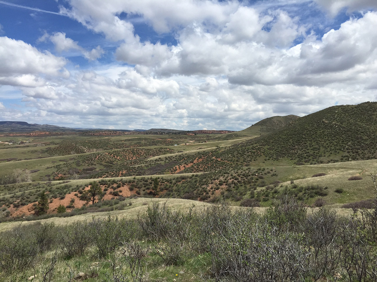
About 20 miles northwest of Fort Collins, Larimer County has preserved about 750 acres of the beautiful Laramie Foothills in Eagle’s Nest Open Space. This parcel is well known amongst birders, who flock here to search for golden eagles, which have nested on the namesake rock for the last century. Other raptors, including prairie falcons, red-tailed hawks, and bald eagles also like to ride the winds that frequently sweep across this remote and wild landscape.

The 3 Bar Trail, which is named for one of the brands once used by a local ranching family, begins on the edge of the parking lot just after you pass through the only pedestrian gate. Since it’s a loop, you can follow the 3 Bar in either direction. I recommend turning left to walk the circle clockwise so that you can enjoy the portion of the trail that winds through the scenic foothills while you’re descending instead of huffing and puffing your way uphill.
Once you begin walking, the trail is very easy to follow. In a couple of locations where it crosses old ranch roads that aren’t open to the public, they are clearly signed. All you need to focus on is enjoying the views, first of the granite foothills and then, as you drop toward the river, the pretty valley and the steep Eagle’s Nest rock towering above it.
About halfway around the loop, you’ll reach a junction, where a short out-and-back spur leads down to the North Fork of the Cache La Poudre River. Next to the bridge, which leads to the parcel’s only other trail, the OT, there are a couple of large logs perfectly situated along the river bank for a picnic lunch or a nice, long nap.
Once you’re done soaking up the scene, return to the junction and proceed in the opposite direction to complete the loop back to your car. Along the way, keep your eye out for larger wildlife, such as elk, deer, coyotes, and mountain lions, as well as for rattlesnakes, which also enjoy the sunny, wide-open spaces.
Getting there: From Denver take I-25 North to Exit 281. Follow Owl Canyon Road (E CO 70) west for about 7.5 miles, where the road bends to the right and becomes CO 21. Head north on CO 21 for 1.25 miles, then turn left onto W CO 72 and follow this to US 287. Turn right onto 287 and follow this highway north for about 3.5 miles. In tiny Livermore, turn left onto W County Road 74E (Red Feather Lakes Road). After 0.25 miles, turn left onto the dirt access road. Follow for 1 mile through the gate to the parking lot on the right. There is no drinking water available at this open space parcel.


