The Local newsletter is your free, daily guide to life in Colorado. For locals, by locals.
Why we love it:
A rewarding hike up and over the series of mesas that hug the city’s famous Flatirons, with an idyllic picnic spot at the end.
When to go:
All year, but it is especially nice in early autumn, when the air is crisp, and the shrubs and leaves are turning red and gold.

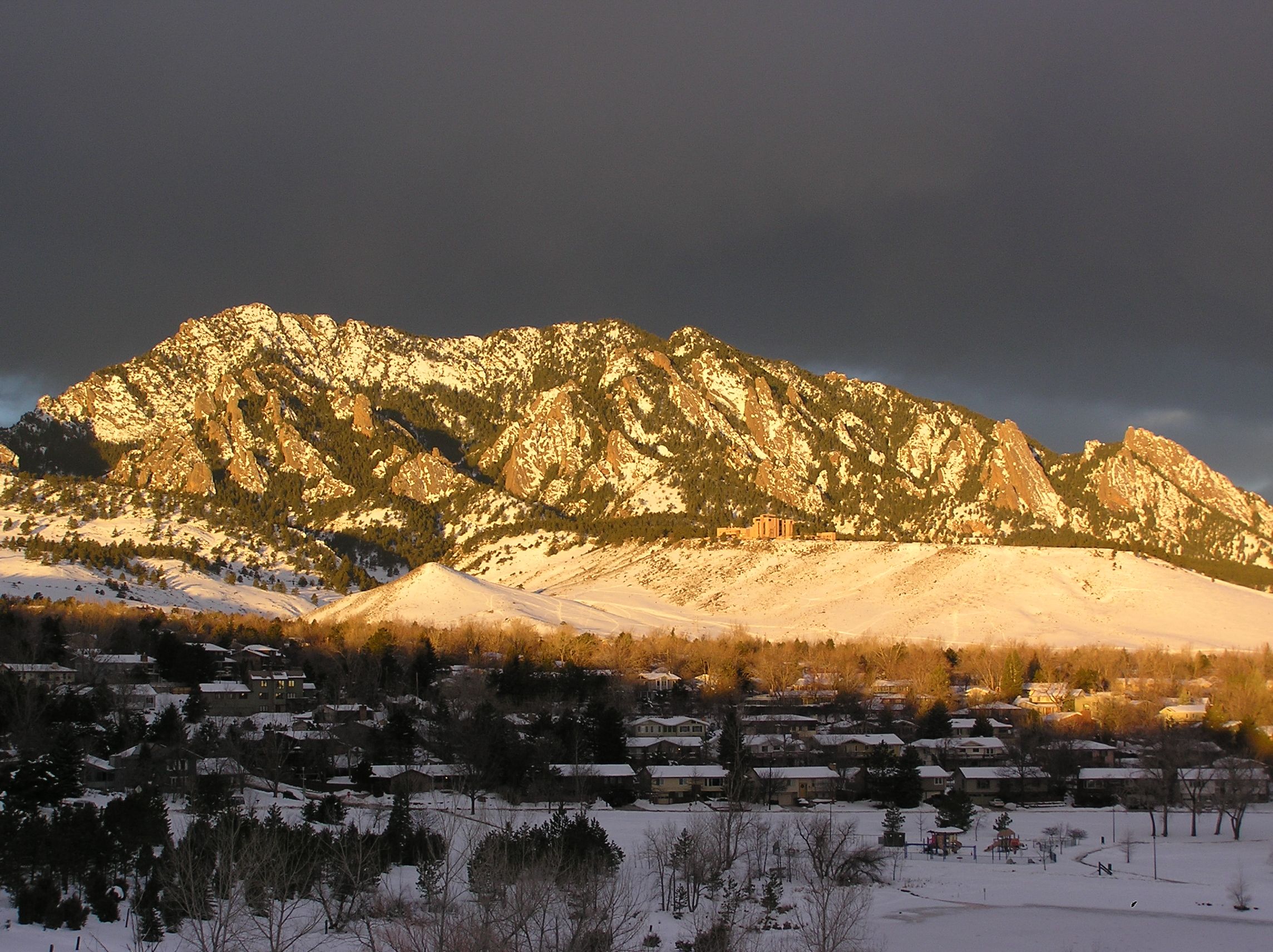
The Crown Jewel of Boulder’s extensive trail system, the 7.3-mile-long Mesa Trail offers gorgeous views, varied terrain, and excellent side-hike options, as well as a look at how last September’s floods have altered these foothills.
I prefer to start at the South Mesa Trailhead, where parking spots are a bit easier to find. The trail immediately crosses South Boulder Creek, where—like many of the local waterways—last fall’s raging floodwaters scoured the gravel bars. Resource managers hope the conditions are ideal for native willow and cottonwood trees to grow and replace important habitat that was lost prior to and during the floods.
After leaving the creek, the Mesa Trail heads north and climbs steadily through open grasslands with amazing views of Eldorado Canyon and the Flatirons. It crosses several other trails before reaching the cooler ponderosa pine forest. The terrain temporarily levels out when you reach the first mesa top, then undulates as you descend, cross, and climb out of several drainages. Shortly before you walk behind the blocky National Center for Atmospheric Research building, you’ll cross Bear Creek, a tiny drainage that experienced a 500-year flood in September. The damage along the trail is still quite evident; to continue the hike, you need to scramble down and back out of the new gully carved by the raging floodwaters.
Farther north, after climbing out of Skunk Creek, the trail levels out as it contours around a steep talus slope, then begins its descent to Chautauqua Park. Where the trail seems to end near an outhouse, continue down the rough Bluebell Road while enjoying fabulous views of the Third Flatiron, Chautauqua meadow, Flagstaff Mountain, and other foothills stretching far to the north. To your right, landslides are still evident above McClintock Canyon, a drainage that was completely changed by the floods. Where lush vegetation once stood, enormous boulders now fill the canyon bottom.
The trail ends at the Chautauqua parking lot. If you’ve stashed a cooler in your car, you can reward your efforts with a picnic spread on the huge grassy lawn to the east.
Getting there:
From Denver, take I-25 North to U.S. 36 West and exit at 217A/McCaslin Boulevard. Turn left onto McCaslin, then right onto CO-170/Marshall Road. Follow this west through the intersection with CO-93. The South Mesa trailhead is located on the right, 1.7 miles west of this junction.
Logistics:
This is a one-way hike between trailheads on Eldorado Springs Drive (near the town of Eldorado Springs) and Chautauqua Park (just south of Baseline Road in Boulder), so you’ll either need to retrace your steps or pre-arrange a car or bike shuttle. There are no public transport options to return to the South Mesa trailhead from town.


