The Local newsletter is your free, daily guide to life in Colorado. For locals, by locals.
Length: 7.5 miles roundtrip
Difficulty: Difficult
Why we love it: This hike has it all—a steady grade with great Flatirons views followed by a leg-pumping climb up a shady, forested canyon to a rocky summit with awesome panoramic views.
When to go: Mid-spring or late fall with Yaktrax; late spring through mid-fall without.
Pre-hike buzz: The closest coffee is at the Eldorado Corner Market at the junction of Highways 93 and 170. For a post-hike treat, head north on Highway 93 for 2.4 miles to Sweet Cow for some small-batch ice cream (you’ve earned it!)
Restrooms: Outhouses at the trailhead
Dogs: Must be leashed at trailhead and leashed or under voice and sight control along the trails
This strenuous trail climbs 2,900 vertical feet to the summit of the Boulder foothills’ highest mountain, 8,549-foot South Boulder Peak. A saddle just 0.3 miles from the top offers a welcome (though brief) respite, and an opportunity to see how the forest is rebounding from the 2012 Flagstaff Fire, which burnt the trees right up to the edge of the rocky summit ridge.

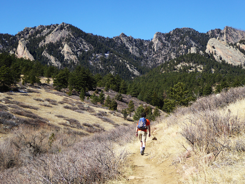
From the South Mesa trailhead, cross the footbridge over South Boulder Creek and follow the Mesa Trail as it winds upward through open grasslands with stunning Flatirons views. About 1.1 miles from the trailhead, veer left onto the Shadow Canyon South Trail, which heads west through the ponderosa pine forest for about a mile before joining with the Shadow Canyon North Trail at the canyon’s mouth.
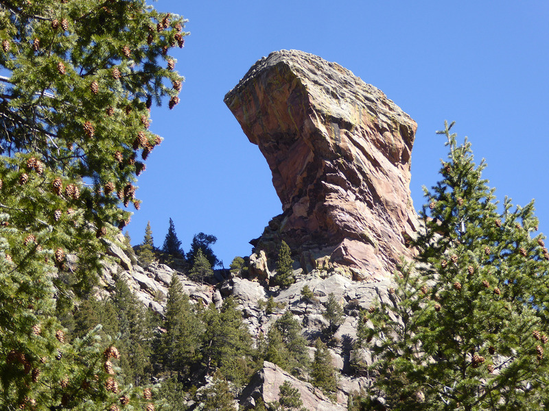
From this junction the trail starts the 1.2-mile climb up Shadow Canyon, whose tall walls offer shade even in summer and create a cool, moist microclimate where tall Douglas firs and ponderosa pines thrive. As you near the saddle, the trail enters the area burned during the 2012 wildfire. Because the area now receives much more sunlight than it did prior to the fire, this portion of the trail holds less ice and makes a mid-spring ascent possible (with Yaktrax—especially if there’s been recent snow).
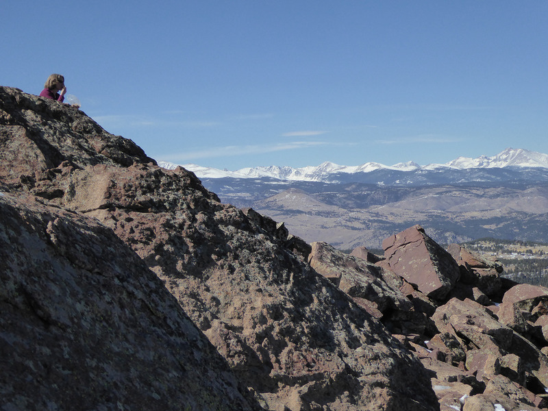
From the saddle, head left (southwest) up the burned slope for 0.3 miles to the rocky summit, which offers a spectacular perch from which to enjoy the 360-degree views that include the Continental Divide, Denver, the northern foothills, and the flat plains. After refueling, return to the saddle. From here, you can either retrace your steps back to your car or, as a bonus, head north to climb the 0.3-mile trail to the top of the neighboring 8,461-foot Bear Peak and return to the Mesa Trail via the steeper Fern Canyon Trail for a total distance of 8.6 miles. Either way, you’ll feel the burn.
Getting there: From the Highway 6/Highway 93 junction in Golden, head north on Highway 93 for 13.5 miles to the intersection with Highway 170. Turn left onto Highway 170/Eldorado Springs Drive and follow it west for 1.7 miles to the South Mesa Trailhead parking area on the right. If this is full, there is another open space parking lot on the left (south) side of the road.


