The Local newsletter is your free, daily guide to life in Colorado. For locals, by locals.
Length: 8 miles roundtrip
Difficulty: Moderate
Why we love it: Relatively easy and quick access to fields of wildflowers and stunning views of the Continental Divide—and beyond
When to go: June through October. As with all alpine peaks, it’s important to get an early-morning start to avoid potential thunderstorms (and to get a parking spot)
Pre-hike buzz: Salto Coffee Works in Nederland serves up steaming cups of chai and cappuccino, as well as breakfast favorites like fried egg sandwiches and crunchy granola with yogurt
Restrooms: Outhouse at the trailhead
Dogs: Allowed on leash per U.S. Forest Service wilderness regulations
Fee: $10 for a three-day pass
Colorado’s fourteeners get a lot of acclaim. But hikers shouldn’t overlook our state’s gorgeous (yet still strenuous) 13,000-foot peaks. Take the easily accessible, 13,223-foot Mount Audubon, which is located about a mile east of the Continental Divide and is the most prominent peak visible from Boulder. It’s a gentle mountain, with expansive slopes and broad ridges that offer a mellow route to the rocky summit, and whose easterly perch offers close-ups views of the rugged peaks along the Divide.

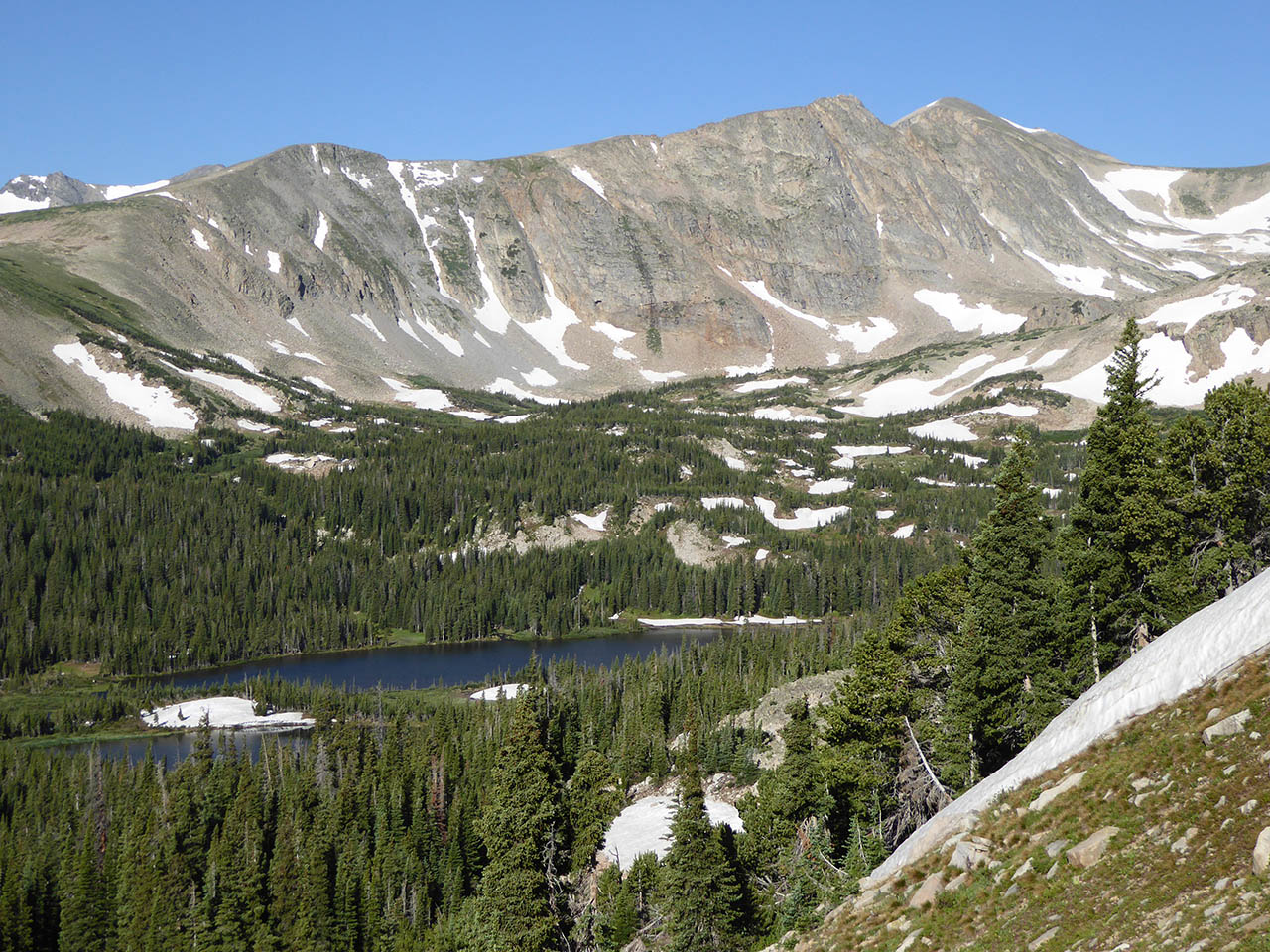
Although most hikers in decent shape shouldn’t have a problem bagging this peak, Mount Audubon is still an alpine summit with 2,900 vertical feet of elevation gain, so be sure to take all prudent precautions, including starting early. From the trailhead near the upper end of the Mitchell Lake parking lot, the route is stony but easy to follow. It climbs steadily through a glacial valley with dense fir-spruce forest before bending to the right to ascend a series of switchbacks up the valley’s side wall.
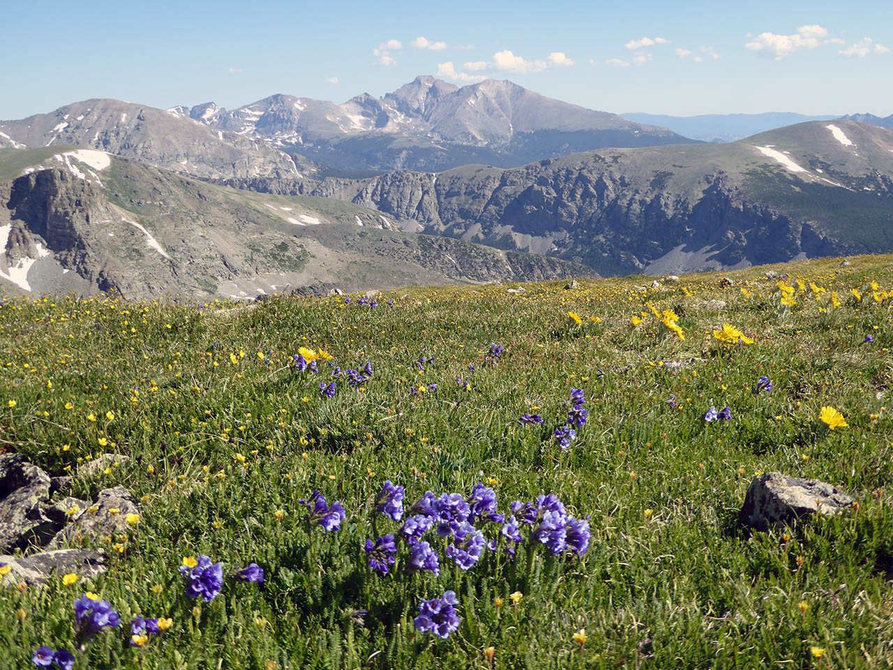
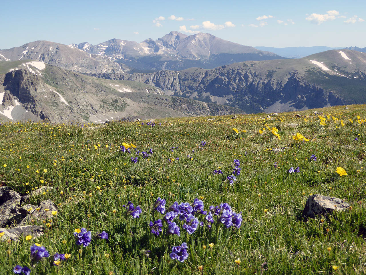
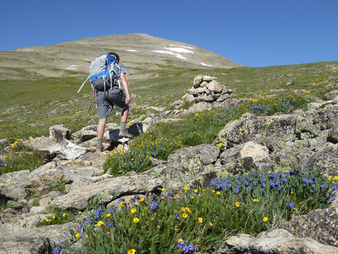
After about 1.5 miles, you break out of the trees, then encounter the route’s only junction about 0.25 miles farther; continue left here on the Mount Audubon Trail. As you continue to climb, the summit comes into view above beautiful, rolling slopes of tundra dotted with yellow, purple, and blue wildflowers.
The route climbs to a small saddle just north of the summit, where a large cairn marks a faint trail to the left, toward the final, steep ascent up a blocky boulder field. Before you start up this slope, it’s worth first walking a short distance north, where you’re treated to the route’s most vibrant wildflower displays and gorgeous mountain views.
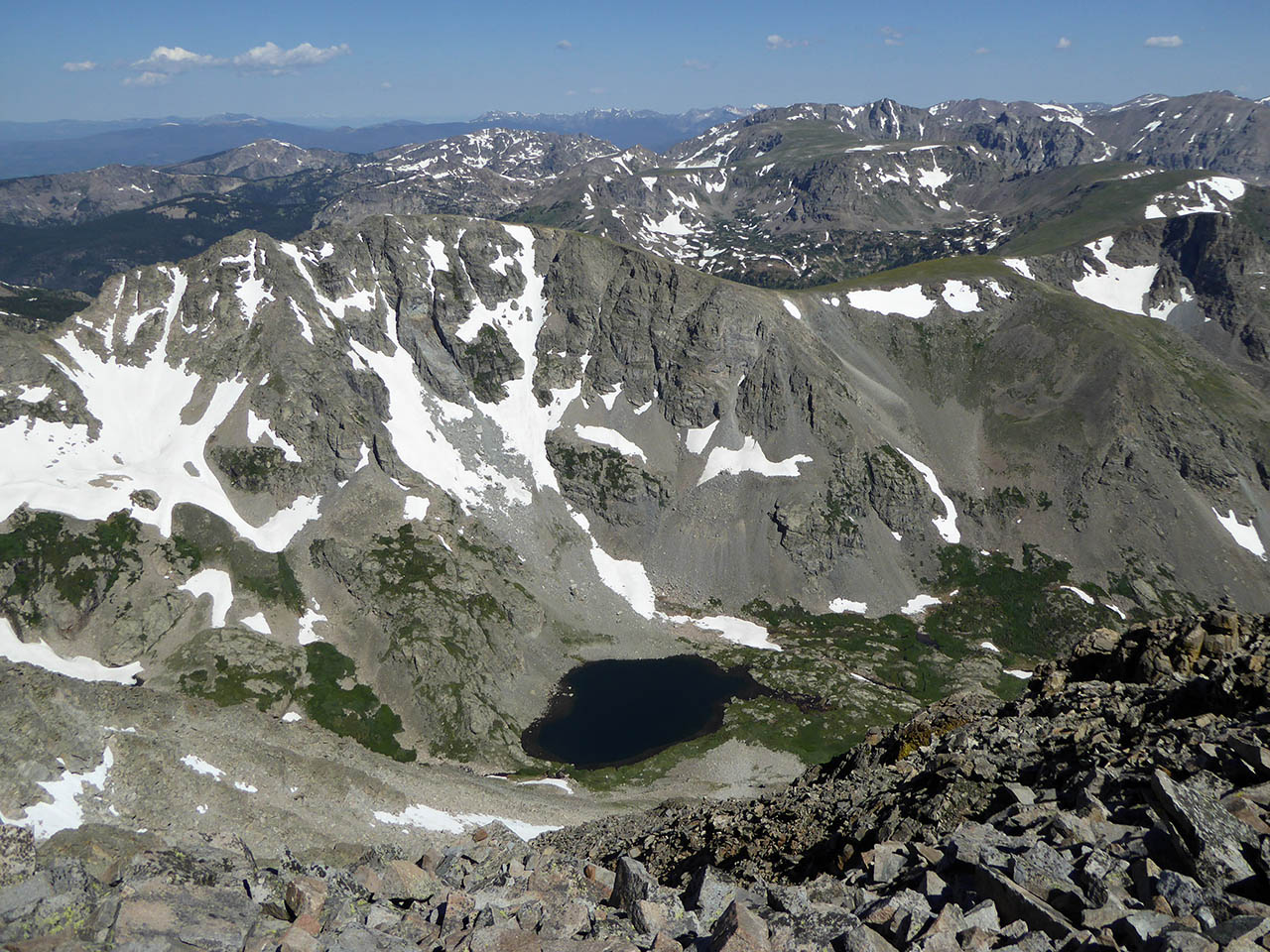
Return to the trail (visible by its lighter-colored rocks) and start up the boulder field. There are several criss-crossing routes here; simply keep heading up where it’s easiest, and you’ll soon be on top, where there are several rock circles to hunker down in if it’s windy. From flat-topped Longs Peak and Lake Granby to the foothills and the plains stretching far to the east, the 360-degree views are amazing. It’s a great spot to enjoy a hard-earned picnic before retracing your steps back to your car.
Getting there: From Denver, head north on I-25 to U.S. 36 West towards Boulder. Follow U.S. 36 for about 20 miles to the Baseline Road exit. Exit here and turn left onto Baseline Road, then almost immediately right onto Broadway and follow this for about 1.25 miles to Canyon Boulevard. Turn left onto Canyon (also called CO-119 and Boulder Canyon Drive) and follow the road about 16 miles up Boulder Canyon to Nederland. At the town’s first (and only) traffic circle, follow the sign to CO 72 (the Peak-to-Peak Highway). Continue north on the Peak-to-Peak about 11.5 miles, then take a sharp left turn onto the signed Brainard Lake Road, which leads to the Brainard Lake Recreation Area entrance booth. After paying, continue straight on the same road, which circles around the south and west sides of the lake, to its end at the Mitchell Lake Trailhead.


